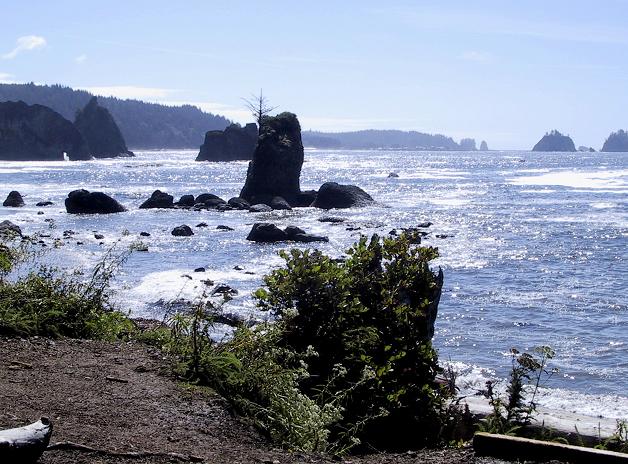
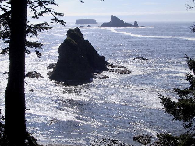
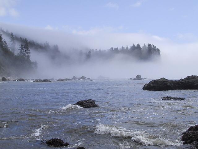
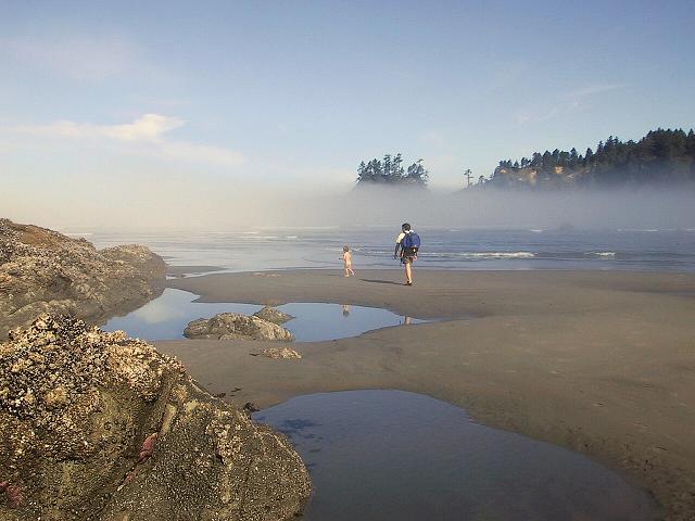
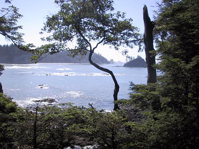
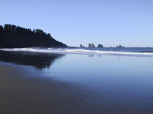
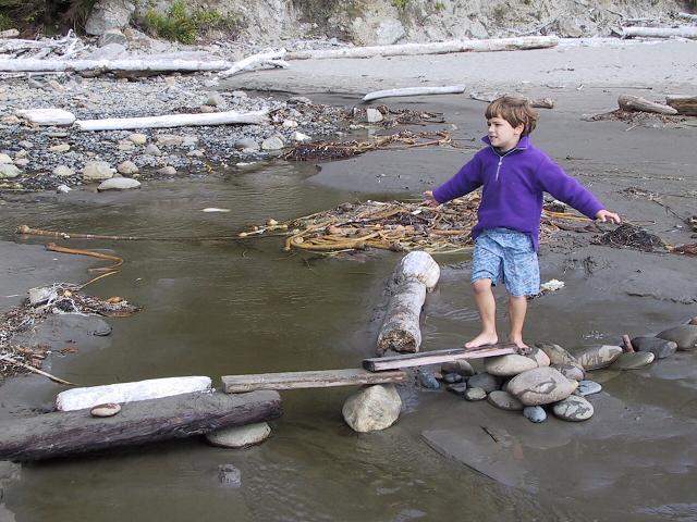
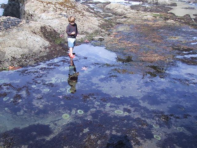
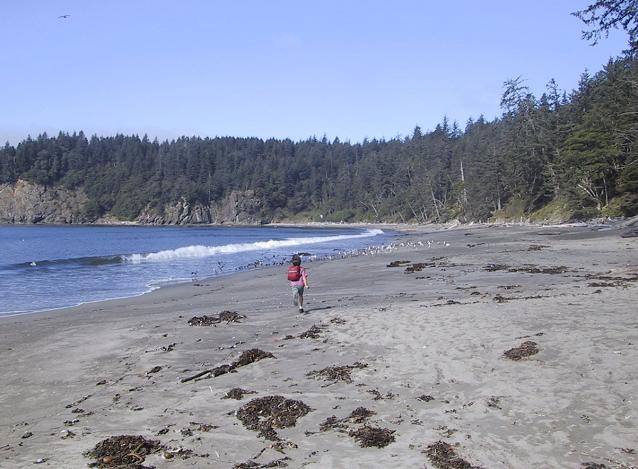
Photos from LaPush, Washington

Click on a picture to see a larger version, or see the tide ebb/flow sequence here

First Beach

At the town of LaPush
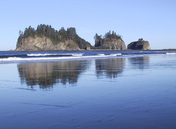
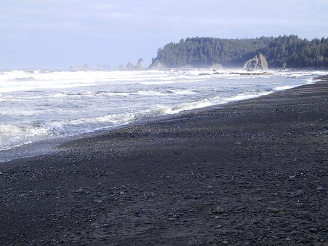
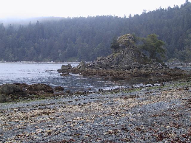
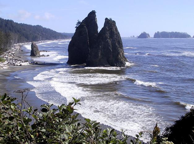
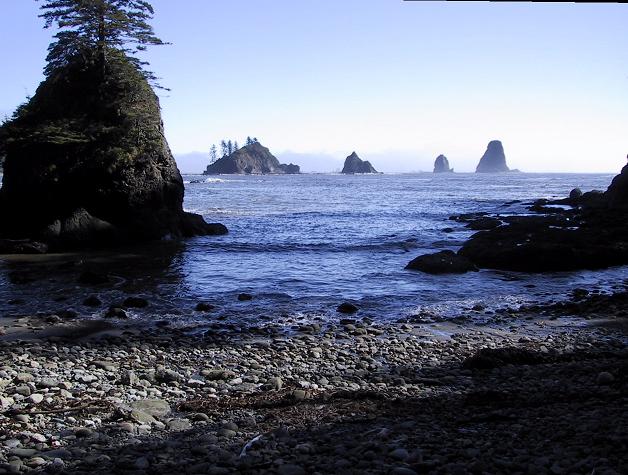
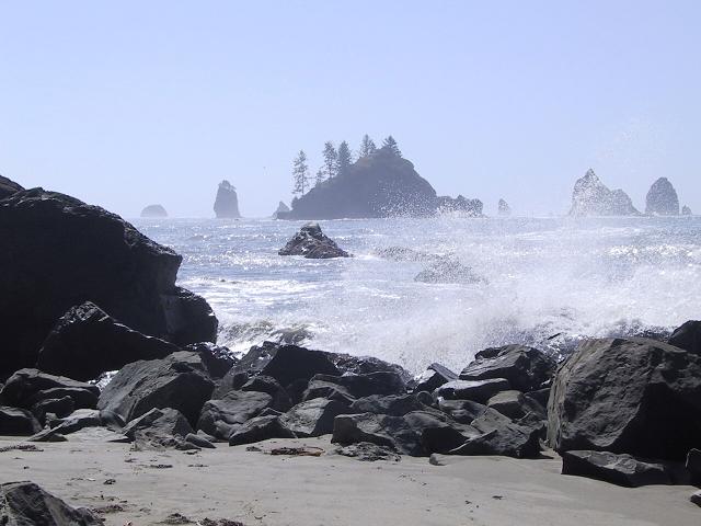
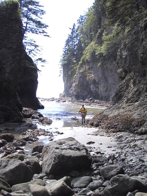
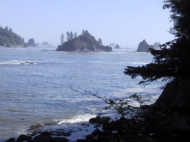
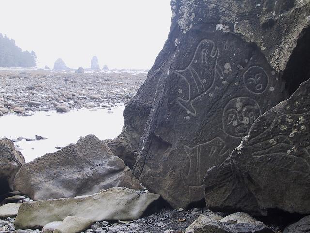
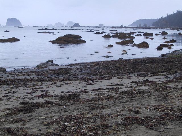
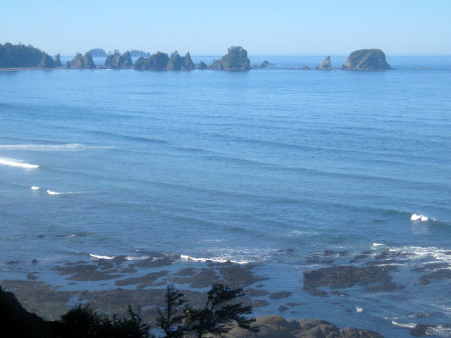
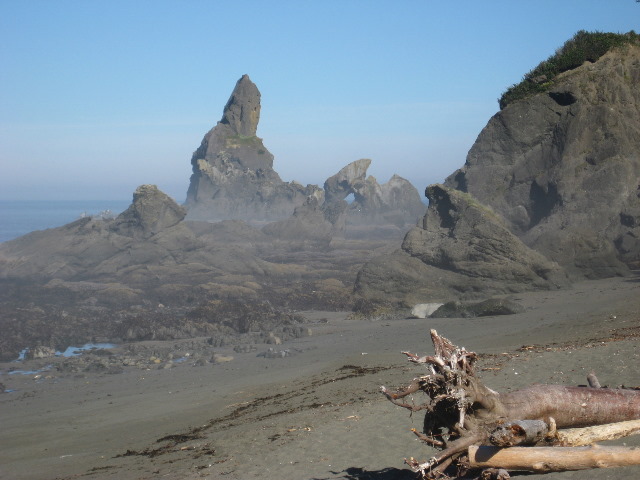
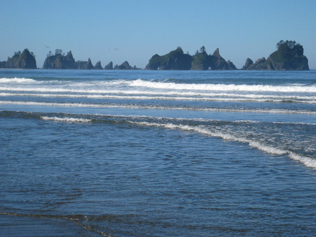
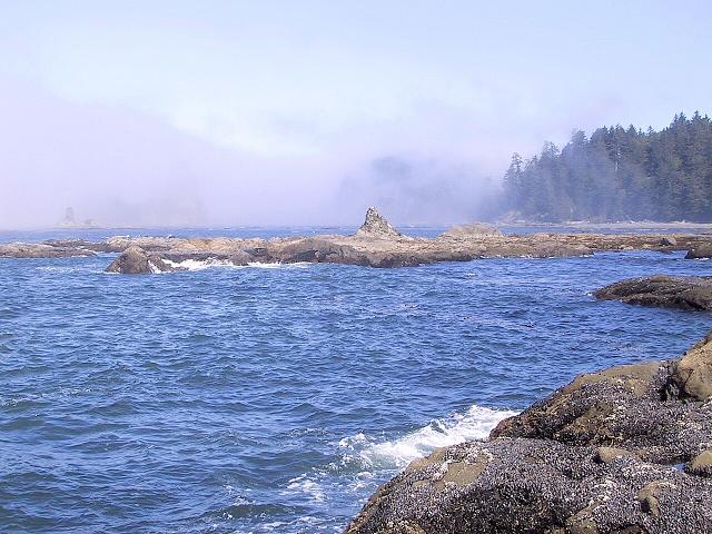
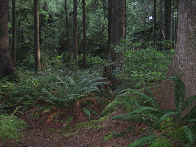
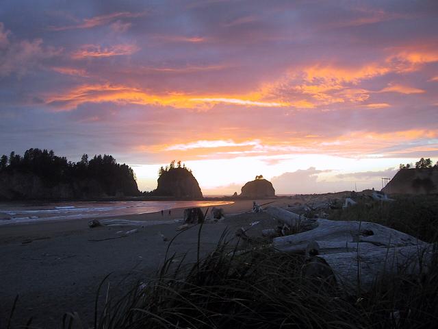
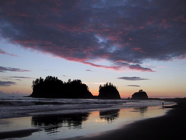
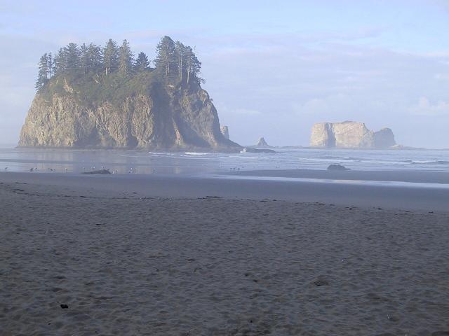
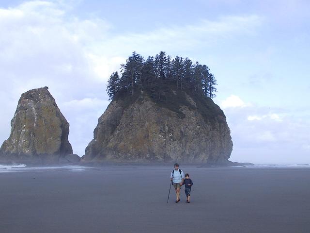
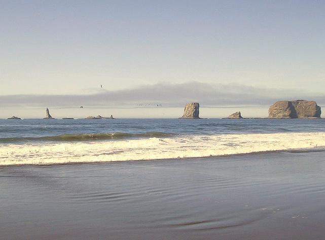
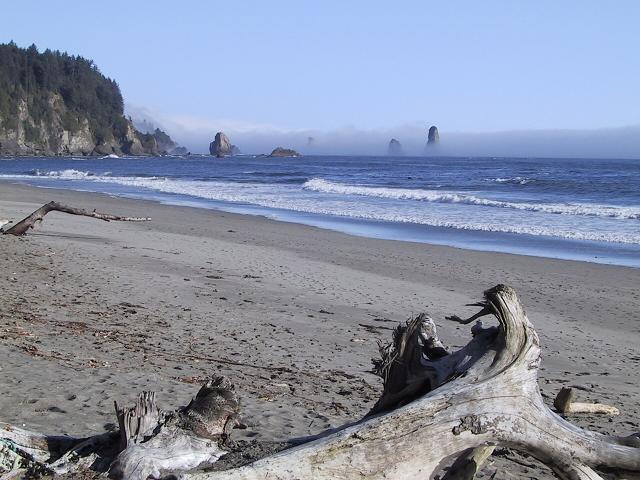
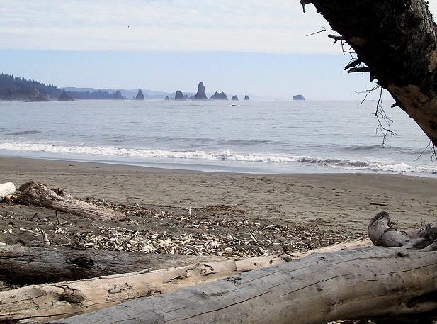
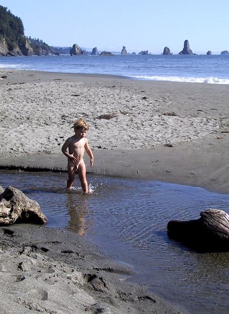
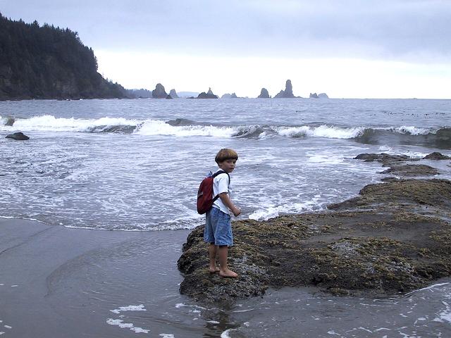
Second Beach

Just a short walk through the forest
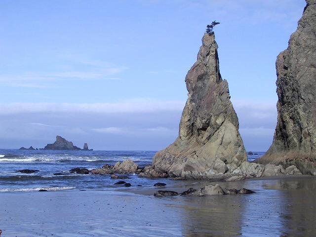
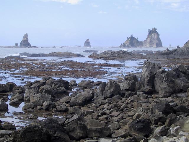
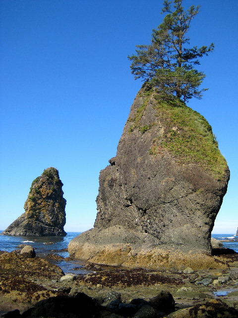
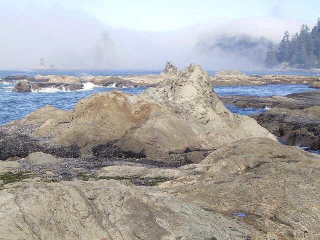
Crying Lady Rock
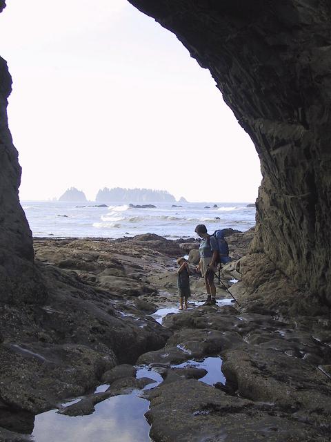
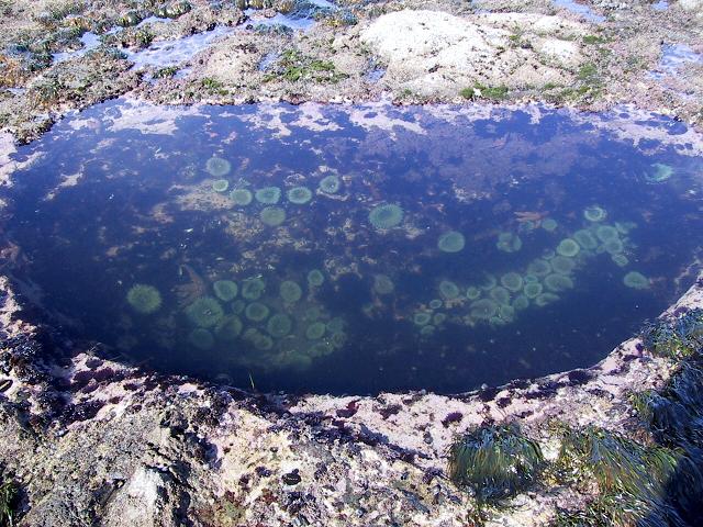
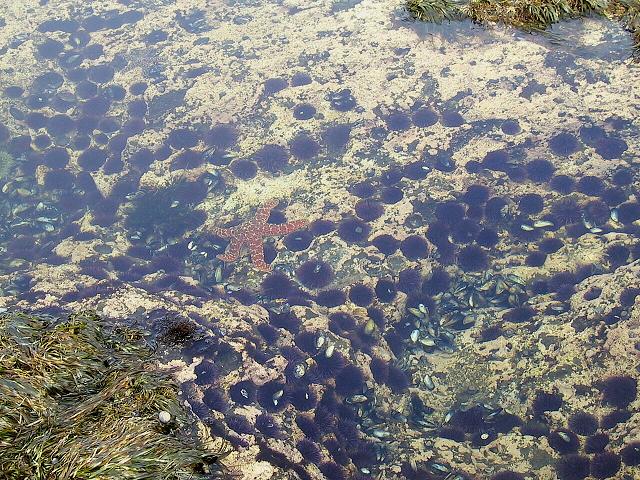
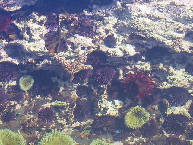
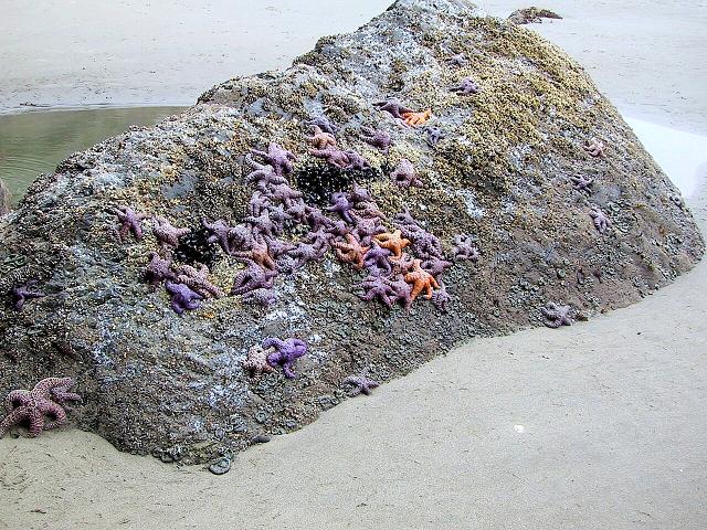
It's accessible at very low tide
Nesting cormorants in July
Wave-carved cave in the Rock
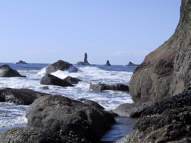
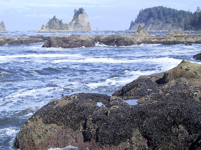
The far side of Crying Lady Rock
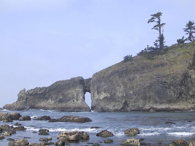
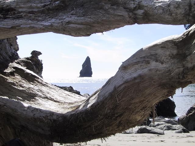
Easily-seen arch near the trailhead.
Remote arch way down the beach.
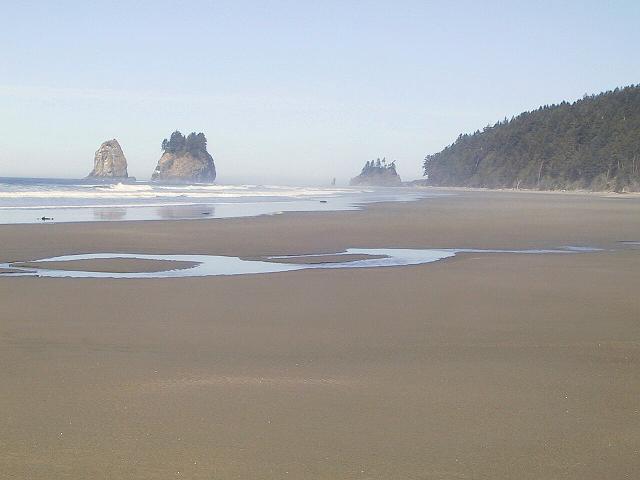
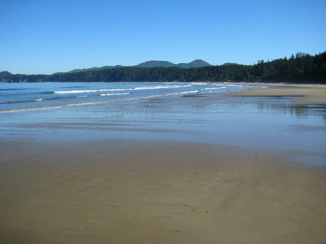
At low tide, big sand flats.
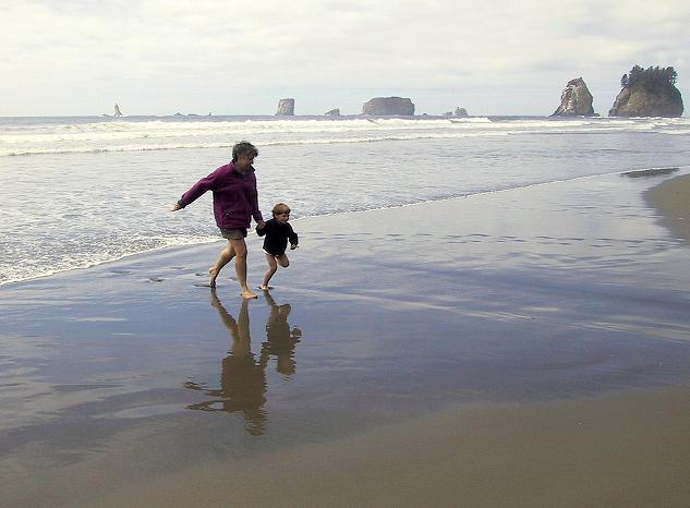
At high tide, water fun.
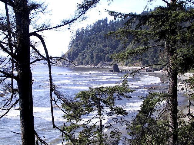
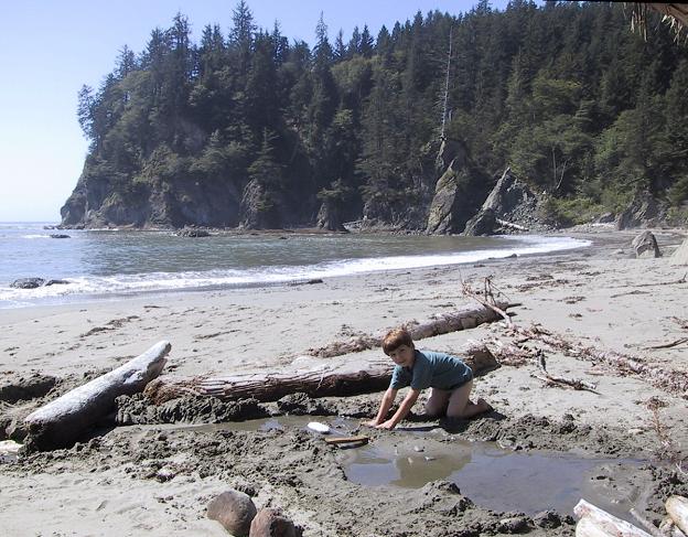
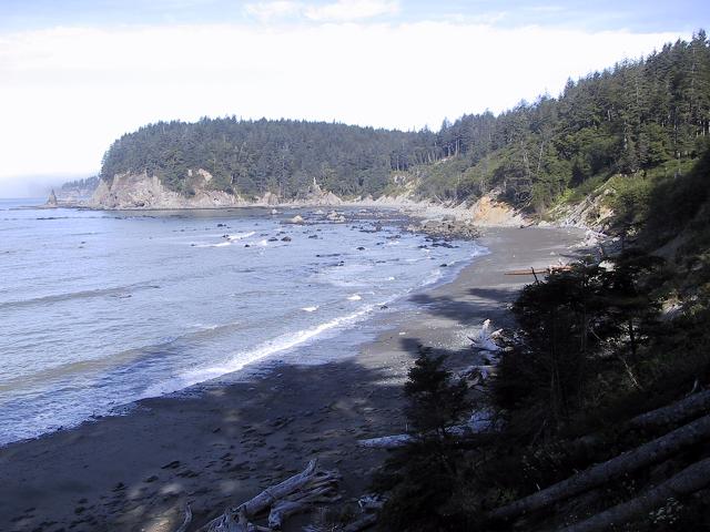
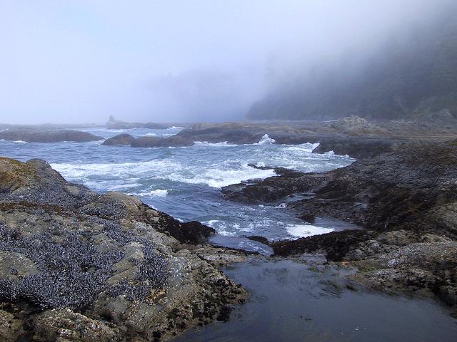
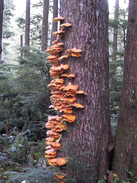
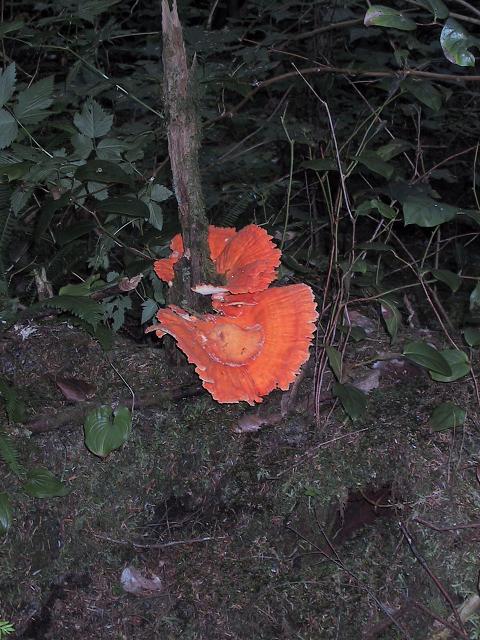
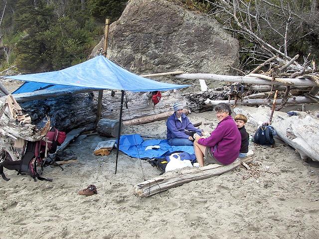
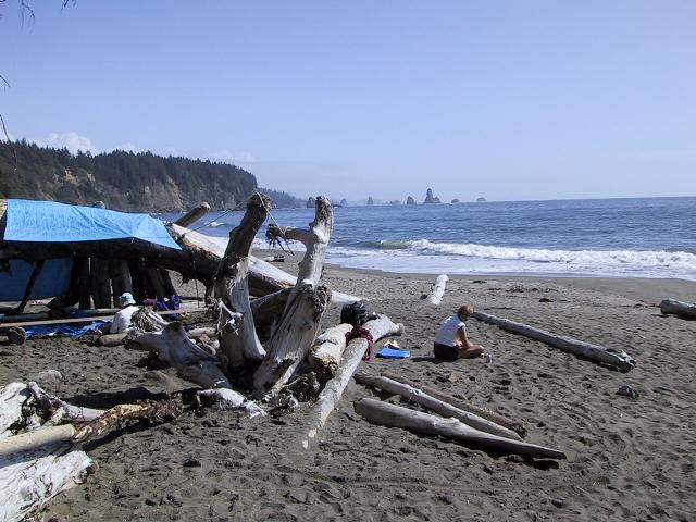
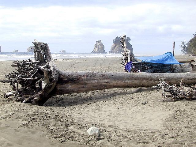
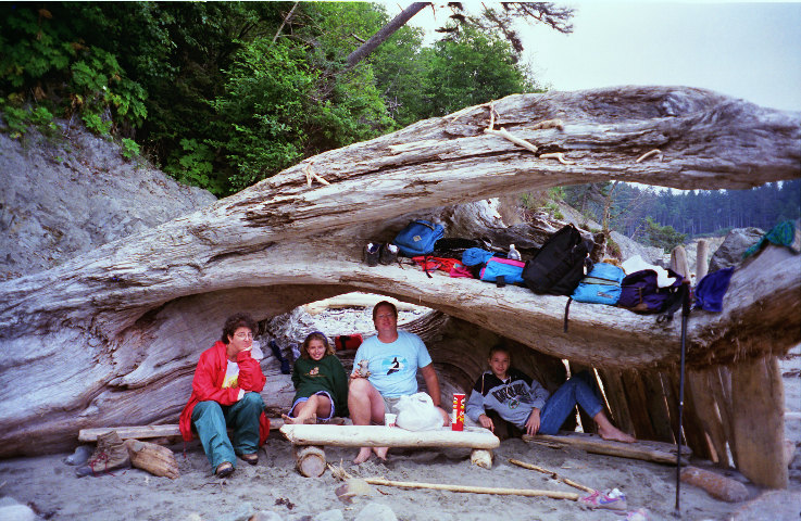
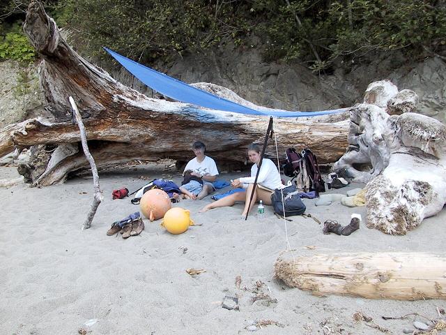
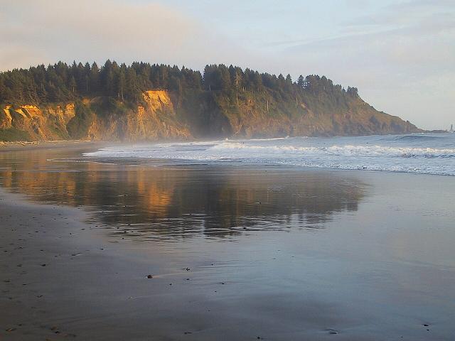
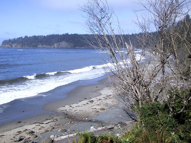
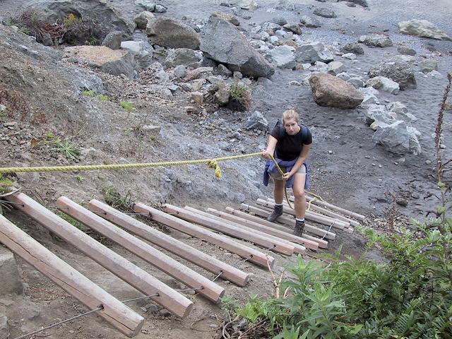
Third Beach

After a mile through the rain forest...

Rialto Beach

and through Hole in Wall to the "World's Best Tidepools" and beyond

"Hidden" Beach

Up the ladders and through the forest from Third Beach. The south coast route ( pix from one trip ) goes on another 15 miles or so to the next gravel road, at Oil City.
The beach from the high tide route
The first cove.
Crashing surf and Giants' Graveyard
Low tide entrance
Calm sea at high tide
A little trickle makes a big dam
Hidden Beach from Scotts Bluff

Cape Alava to Sand Point


Shi-shi Beach and Point of Arches


Fog


Tidal life


The forest

Up the rope ladder.
Through the brush.
Over the bridge.
Light at the end of the trail.

Beach camps

Day shelters from the sun or the rain

Luggage Rack Log

A large log on "Hidden Beach", so named because you could store packs on a small ledge among the roots. The standard "camp" spot in the 90s, it then started getting beaten up and moved in winter storms.

1995, at its prime
2000, through the luggage hole
2002, buried in sand
2003, a good camp but tipped over
2005, pushed up against the forest