 |
|
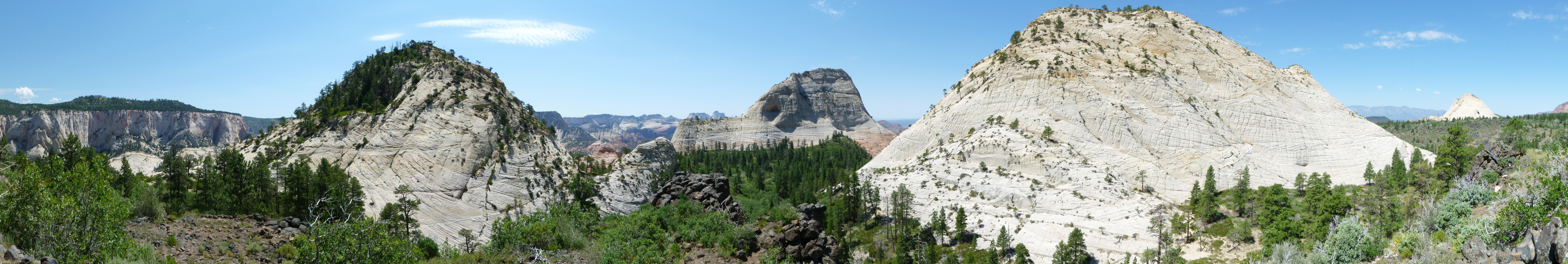
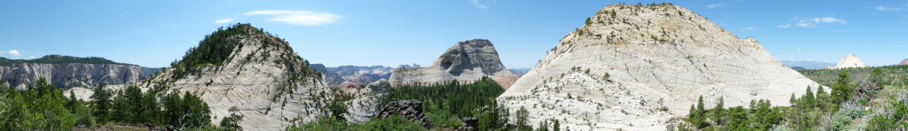
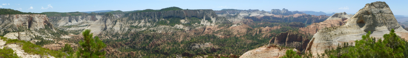
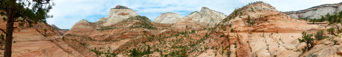
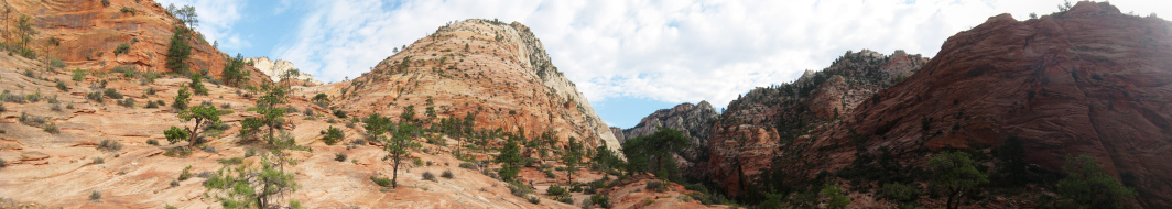
Northgate Peaks, Zion, July 2010
|
|
 |
|
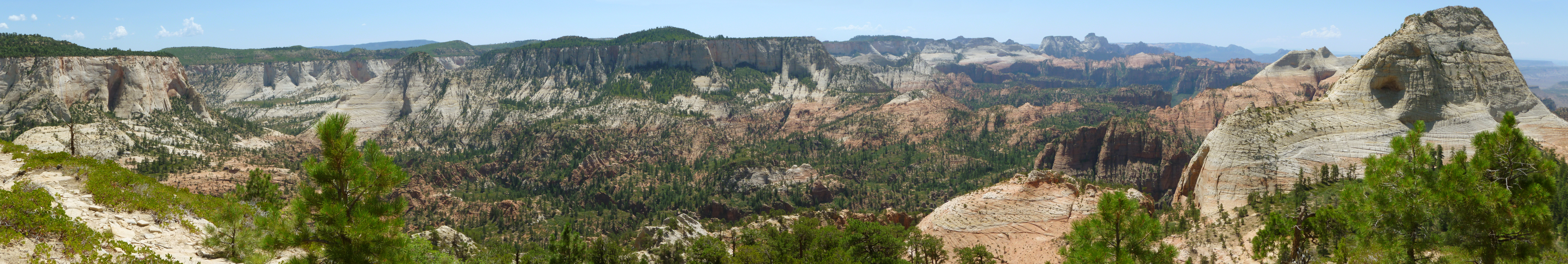
The Guardian Angels and beyond, from East Northgate Peak, Zion, July 2010
|
|
 |
|
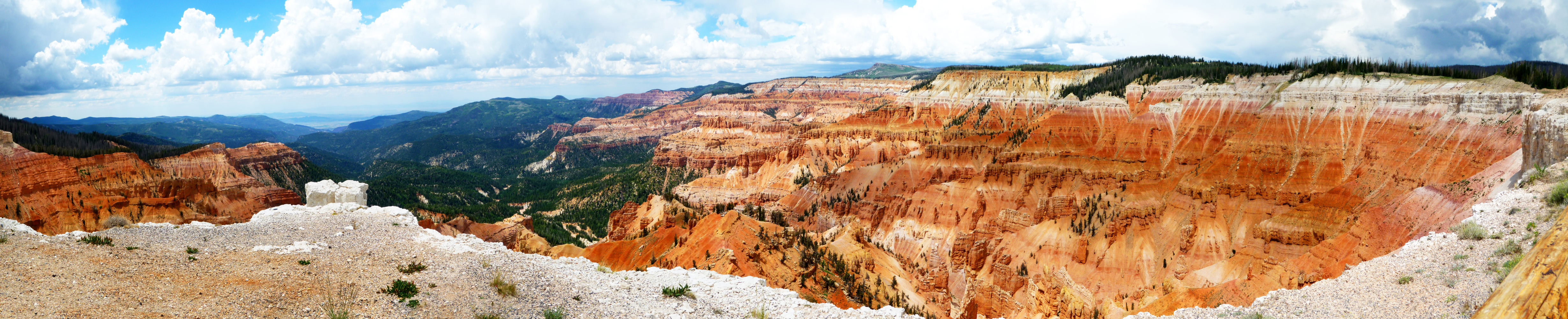
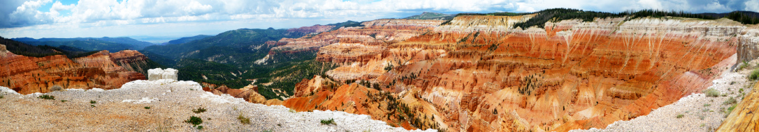
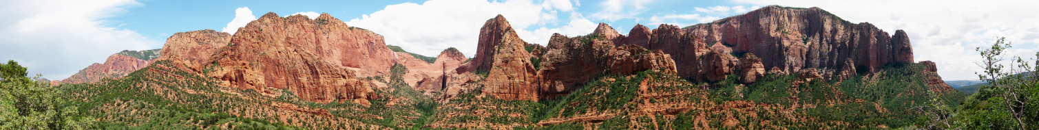
Cedar Breaks, July 2010
|
|
 |
|
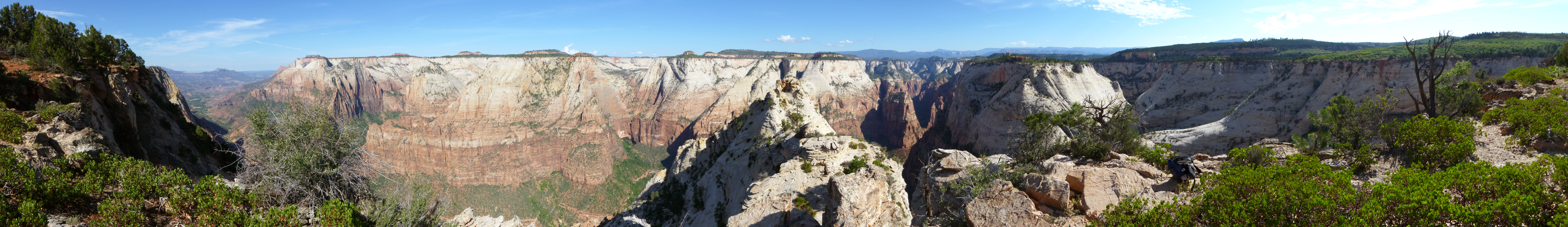
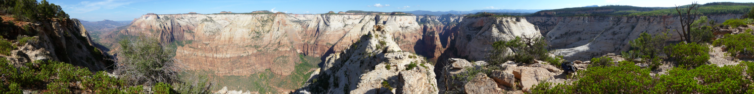
Deertrap Mountain, Zion, July 2010
|
|
 |
|
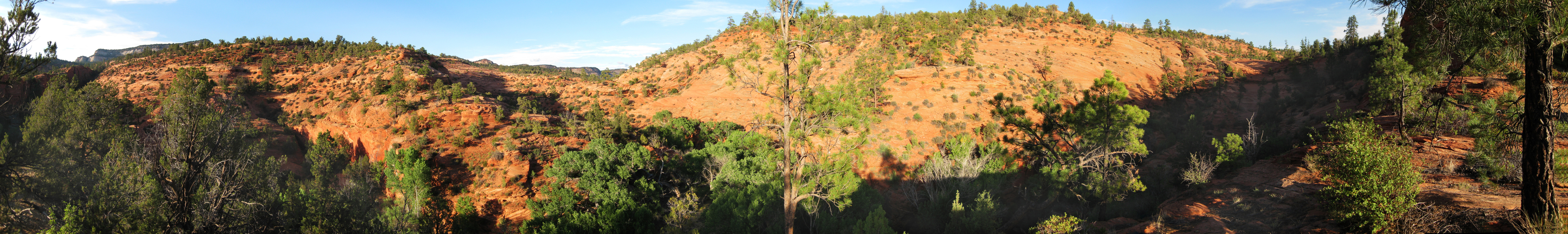
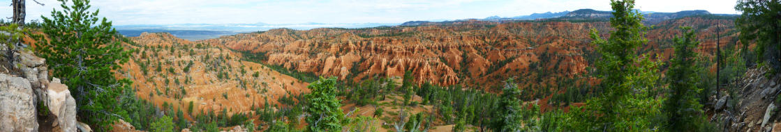
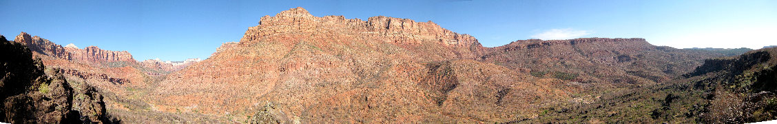
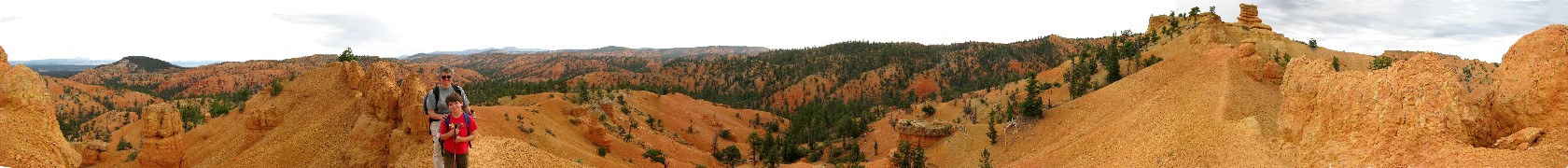
Loosee Canyon, Red Canyon, July 2010
|
|
 |
|
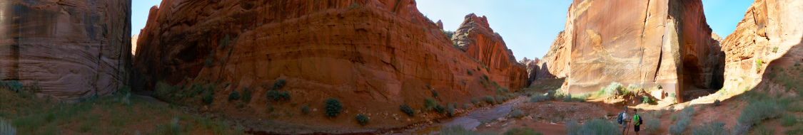
Confluence of Wire Pass and Buckskin Gulch, GSENM, July 2010
|
|
 |
|
View generally east and south from Yellow Rock, GSENM, July 2010
|
|
 |
|
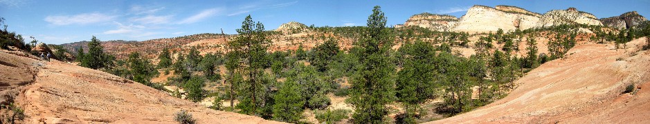
Basin north of Progeny Peak, Zion, July 2010
|
|
 |
|
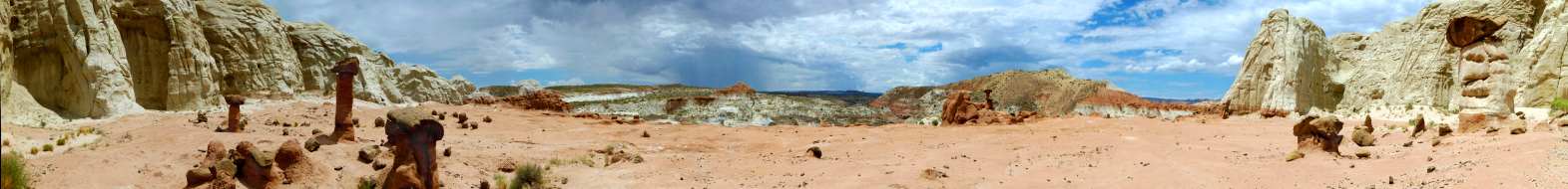
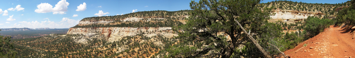
Mushroom Rocks, GSENM, July 2010
|
|
 |
|
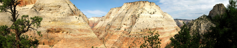
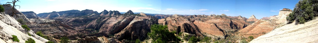
View over East Zion from near the East Temple, Zion, July 2009
|
|
 |
|
Above Pine Creek headed toward Twin Brothers, Zion, July 2009
|
|
 |
|
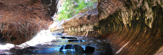
Last pools in the Subway, Zion, July 2009
|
|
 |
|
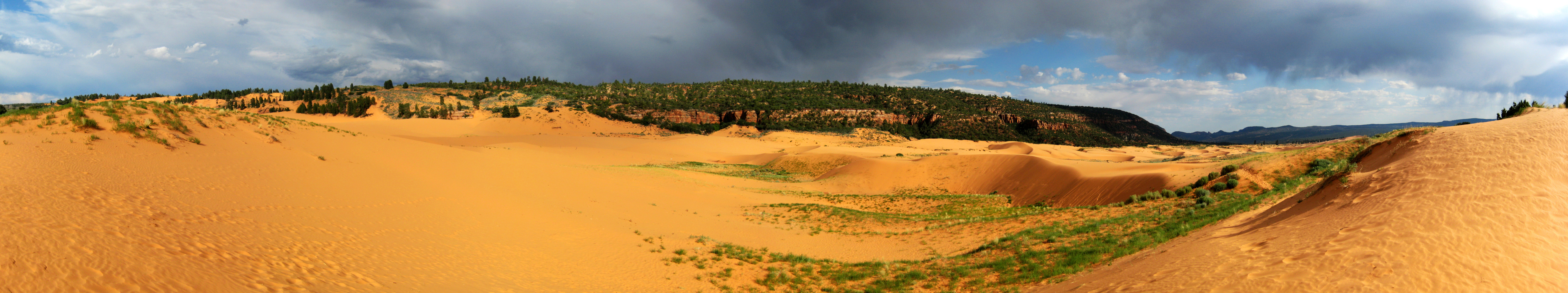
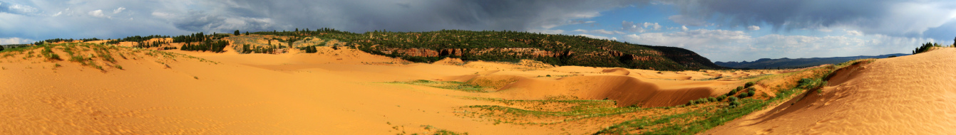
Coral Pink Sand Dunes with rain approaching, July 2009
|
|
 |
|
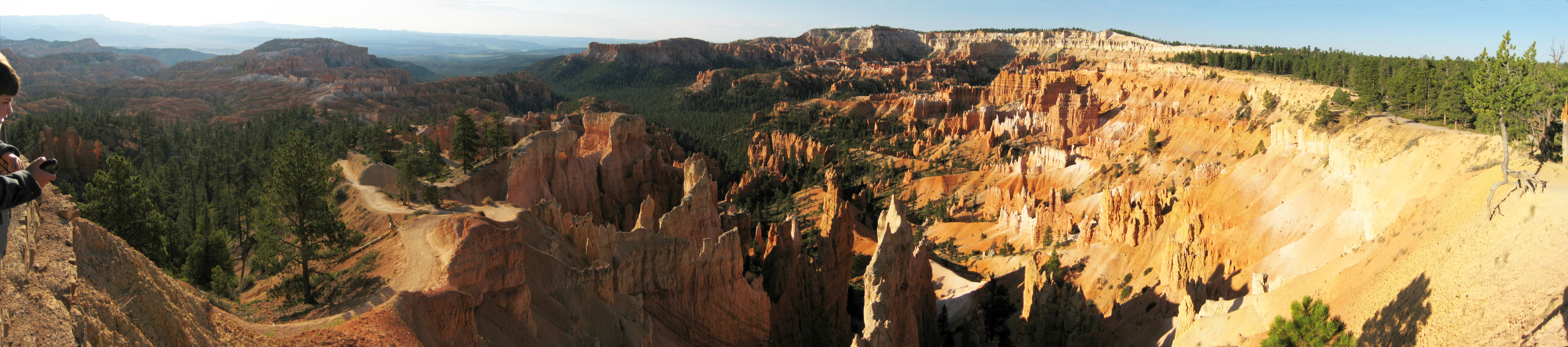
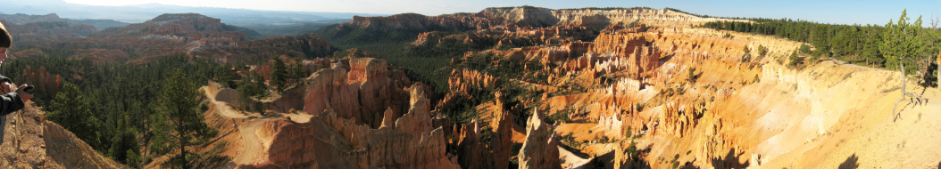
Morning at Bryce Canyon, July 2009
|
|
 |
|
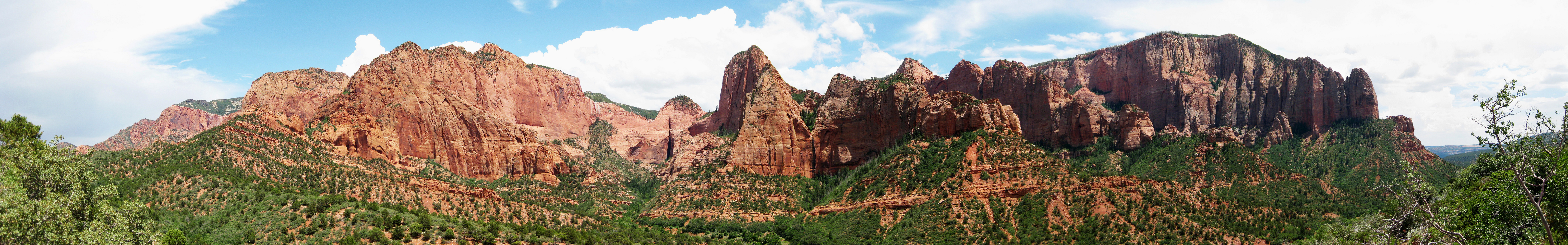
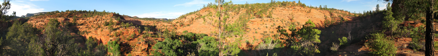
The escarpment at Kolob Terrace, Zion, July 2009
|
|
 |
|
Twin Brothers, Zion, July 2009
|
|
 |
|
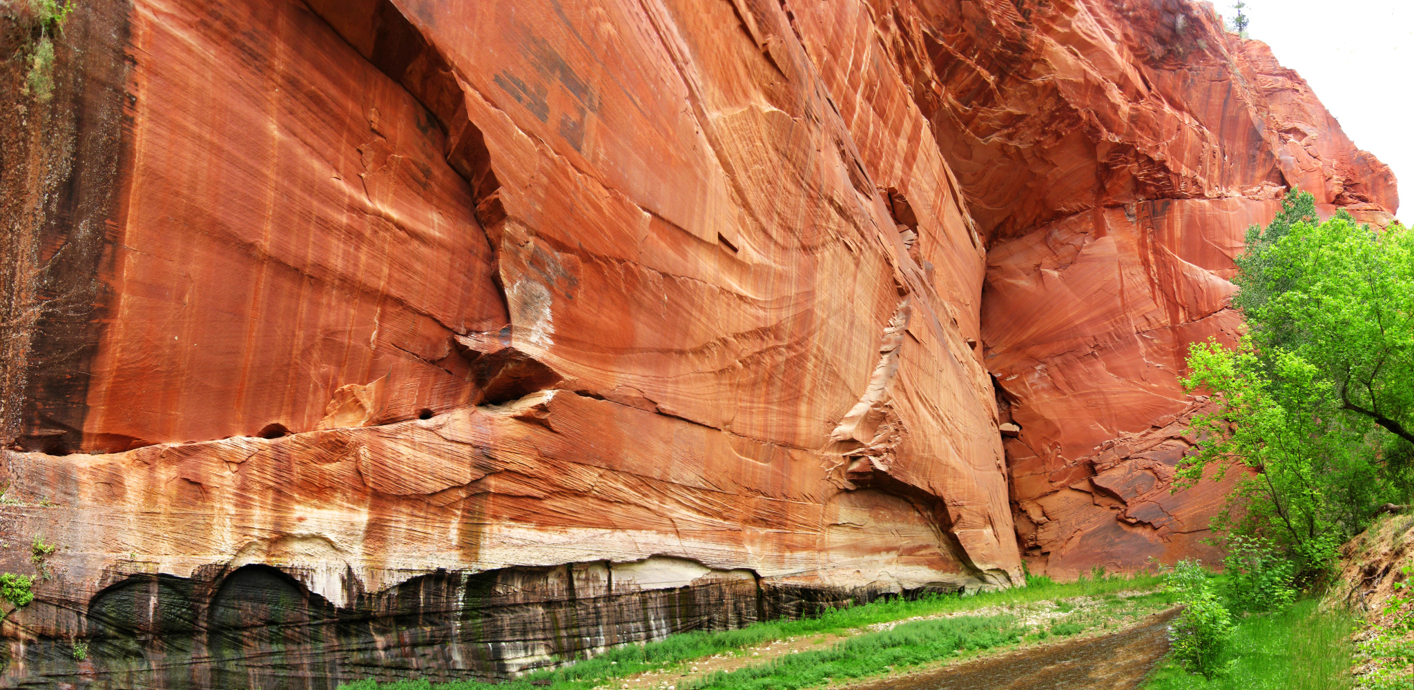
Navajo sandstone, Parunuweap, June 2009
|
|
 |
|
Above the canyon, Parunuweap, June 2009
|
|
 |
|
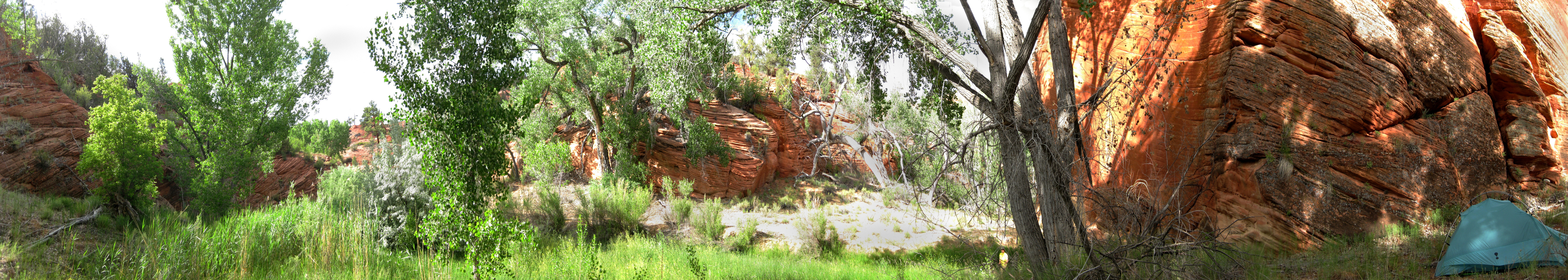
Camp in Parunuweap Canyon, June 2009
|
|
 |
|
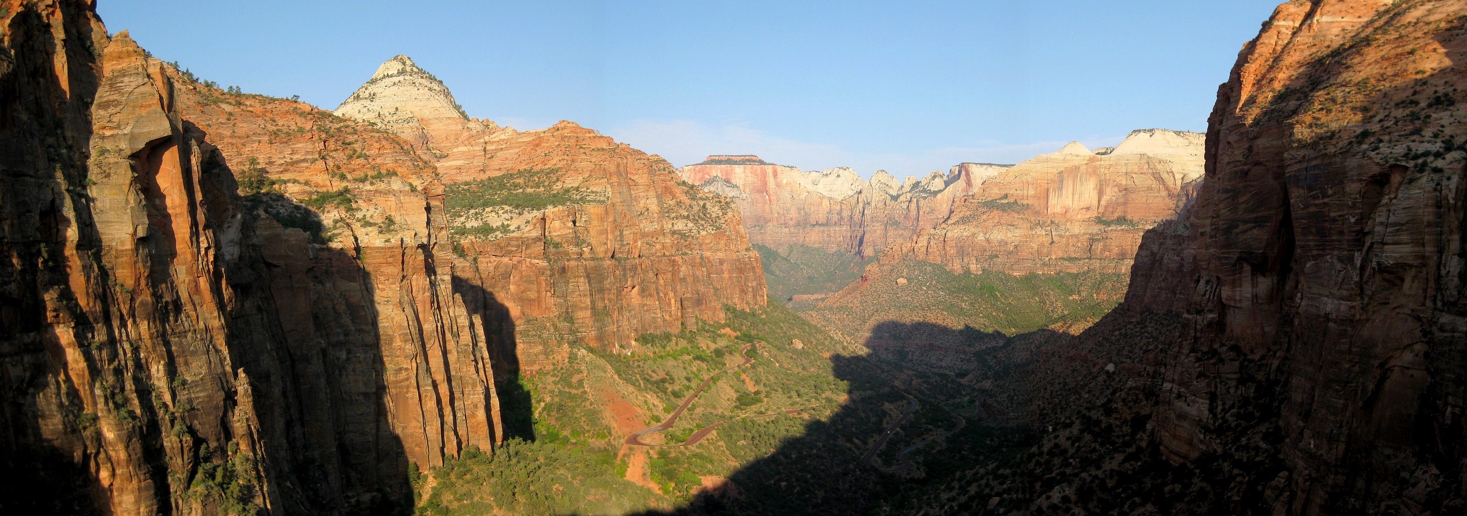
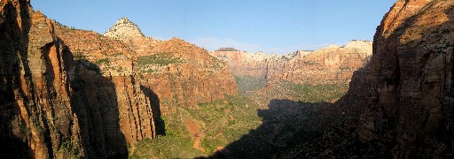
Canyon Overlook, Zion, July 2008
|
|
 |
|
Povertry Trail into Parunuweap, June 2009
|
|
 |
|
North Creek and its Right Fork, Zion, July 2008
|
|
 |
|
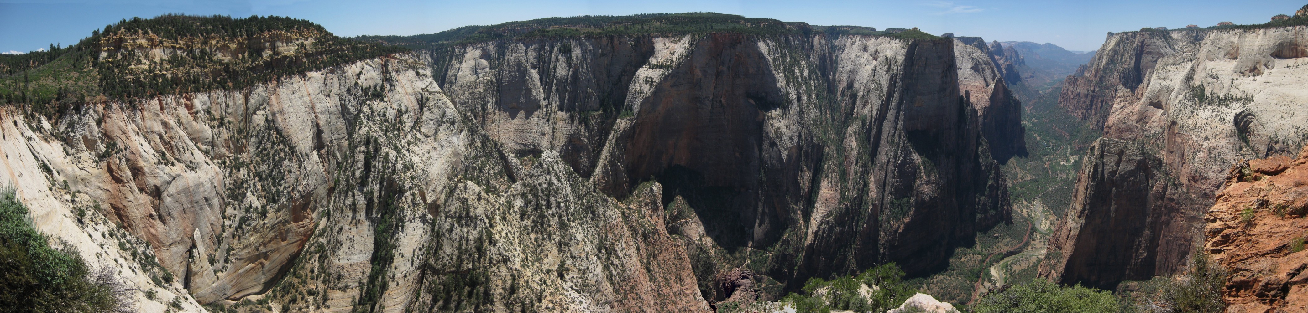
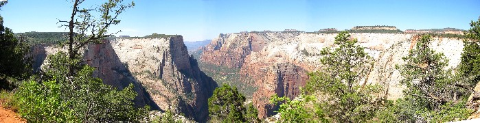
Observation Point, Zion, July 2008
|
|
 |
|
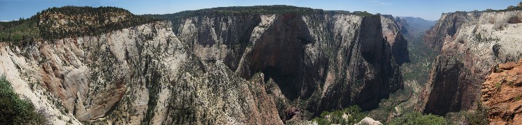
Observation Point, Zion, July 2008. Portions of the trail are visible, as well as the trail to Hidden Canyon below.
|
|
 |
|
En route to Parunuweap, Zion, July 2008
|
|
 |
|
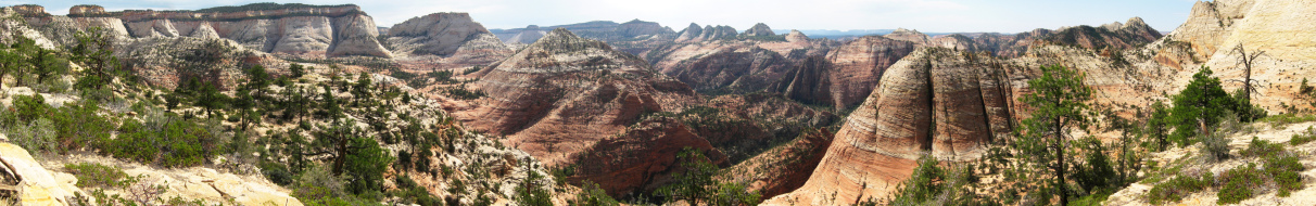
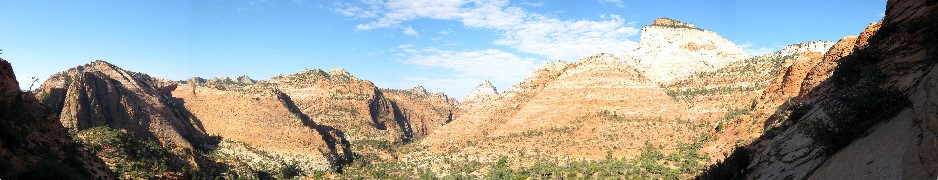
The south side of east Zion from just below the top of Progeny Peak, Zion, July 2008
|
|
 |
|
Looking SW from part way up Progeny Peak, Zion, July 2008
|
|
 |
|
Red Canyon, July 2008. This panorama covers 360 degrees
|
|
 |
|
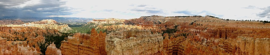
Bryce Canyon amphitheater, July, 2008
|
|
 |
|
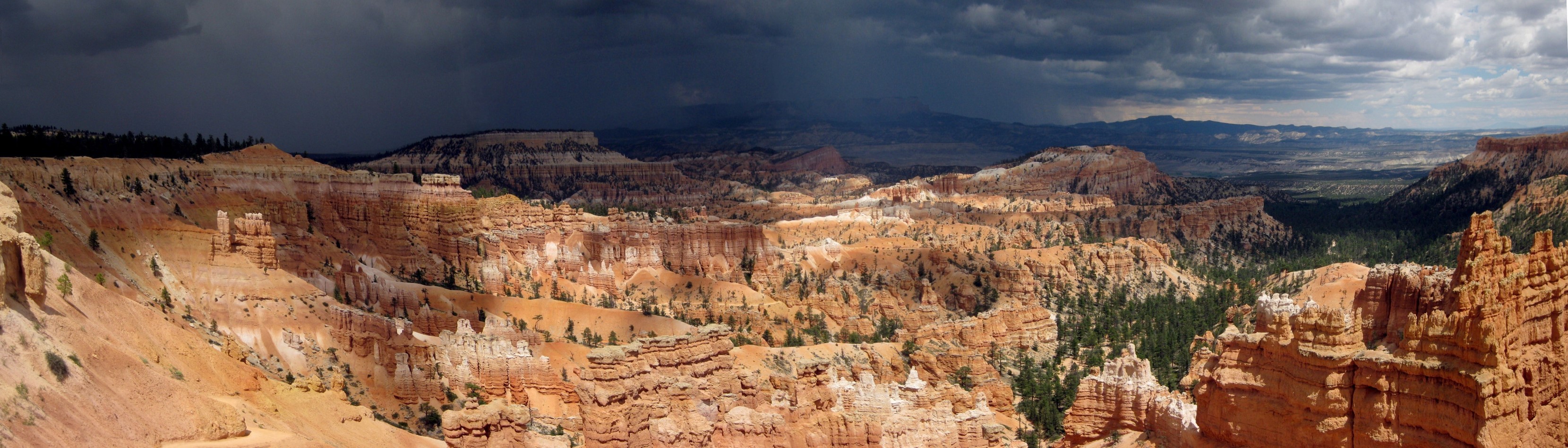
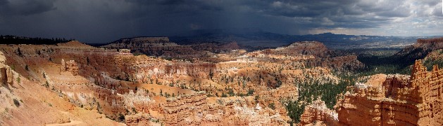
Bryce Canyon, approaching storm, July, 2008
|
|
 |
|
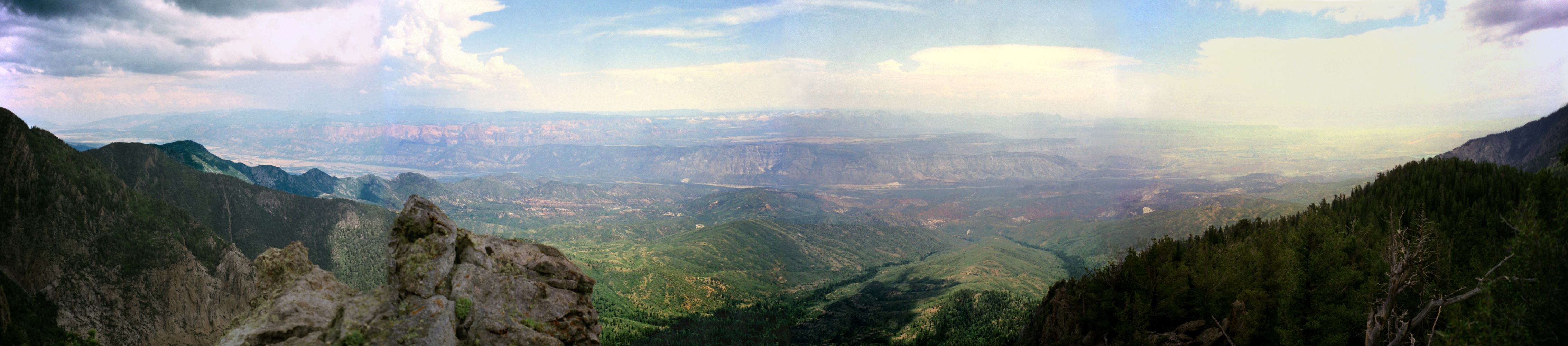
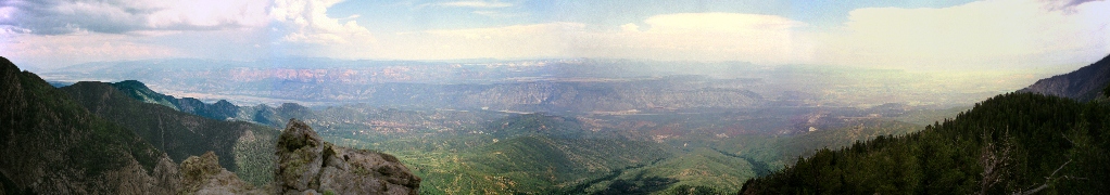
View east over the Hurricane Cliffs from the Pine Valley Mountains. July 1998
|
|
 |
|
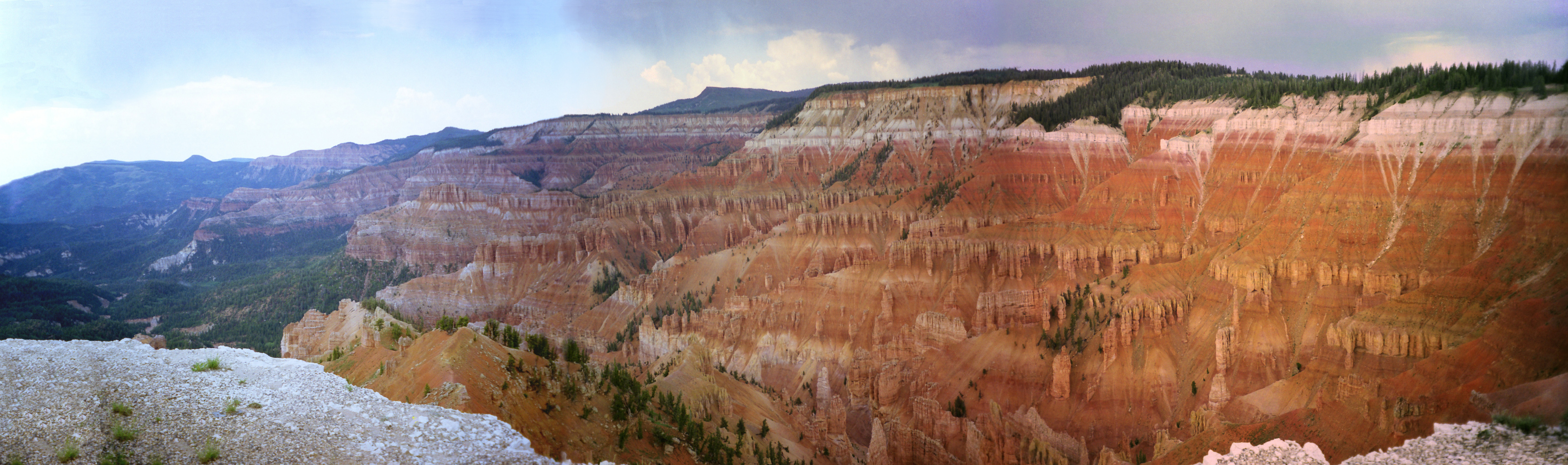
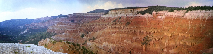
Cedar Breaks just after a thunderstorm, July 1998. Brian Head rises in the center horizon.
|
|