 |
|
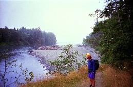
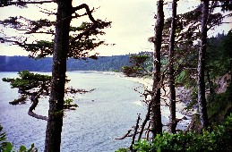
From Oil City along the Hoh to its mouth
|
|
 |
|
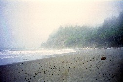
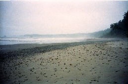
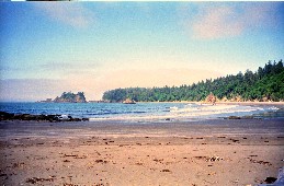
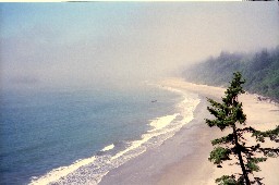
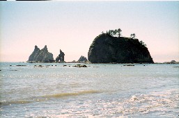
Ocean beach at the Hoh mouth
|
|
 |
|
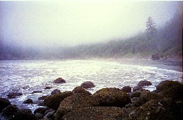
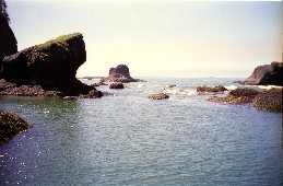
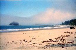
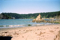
Jefferson Cove, past the first obstacle
|
|
 |
|
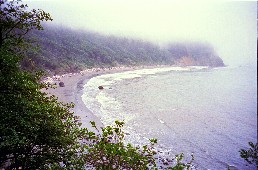
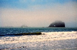
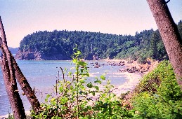
Cove from the trail over Hoh Head
|
|
 |
|
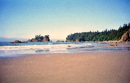
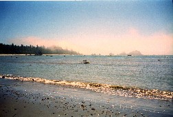
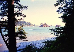
Beach at Mosquito Creek
|
|
 |
|
North on the long beach
|
|
 |
|
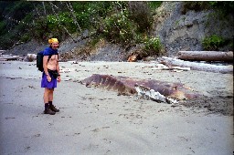
Whale remains, stinky!
|
|
 |
|
Clearing out somewhat
|
|
 |
|
Last bay south of Goodman Crek
|
|
 |
|
Trail heads inland around here
|
|
 |
|
Mouth of Goodman Creek
|
|
 |
|
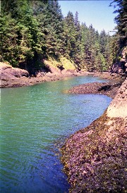
Goodman Creek (off the trail)
|
|
 |
|
Beach again, north to Toleak Point
|
|
 |
|
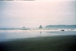
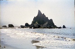
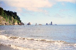
An offshore arch
|
|
 |
|
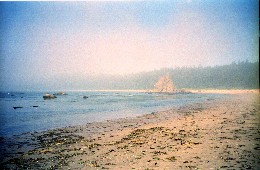
The arch and rocks in lifting fog
|
|
 |
|
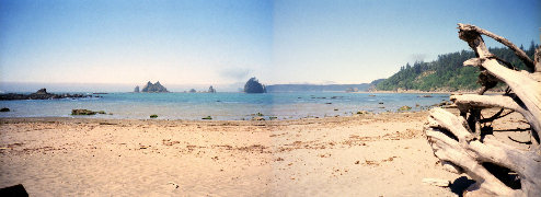
Looking back south from Toleak Point
|
|
 |
|
Toleak Point
|
|
 |
|
North toward Strawberry Point
|
|
 |
|
Between Toleak and Strawberry
|
|
 |
|
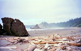
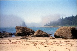
Giants Graveyard passing Strawberry Point
|
|
 |
|
Arch near Strawberry Point
|
|
 |
|
Entrance to the bay by Scotts Bluff
|
|
 |
|
"Hidden" beach & Taylor Pt. from the Bluff
|
|
 |
|
Giants Graveyard from the north
|
|
 |
|
Third Beach from Taylor Point
|
|
 |
|
Descending from Taylor Point
|
|
 |
|
Last ocean view before heading inland
|
|