
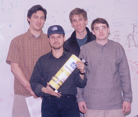
The night before leaving for Everest. (left to right): Matt Lau, Rich Fletcher, Chris Metcalfe, MattReynolds.
The purpose of the MIT weather probes for the Mt. Everest expeditions is to monitor weather conditions on the mountain year-round. For the 1999 Everest Expedition, weather data included: Temperature, barometric pressure, and light level (to determine the sun radiation and sun position). Climate information meets the immediate needs of the climbers planning their ascent. However, the weather information has a long-term benefit to geologists and to those who analyze the climate/rainfall conditions which is crucially important to the living of the local people. Since Mt. Everest is only humanly accessible for only a few weeks per year, very little is known about the yearly weather on Mt. Everest. To the best of our knowledge, our probes are the first on-site instruments to have collected continuous long-term weather data on the mountain. The weather data from our probes is relayed via satellite to an ARGOS service ground station, which then forwards the data via e-mail to the MIT Media Lab. At MIT, the incoming e-mail is automatically received and parsed by a software script which automatically posts it onto the web site for the project.
The 1999 Everest expedition was quite successful. The climbing team led by Pete Athans successfully summitted on May 1999. Four weather probes (#36, 37, 38, & 39) were deployed and data was received from all of them. Since June 1999, two of the weather probes (#38 and #39) are still alive and faithfully sending data. The location of the probes are shown roughly on the map below.
(small Everest map graphic will go here)
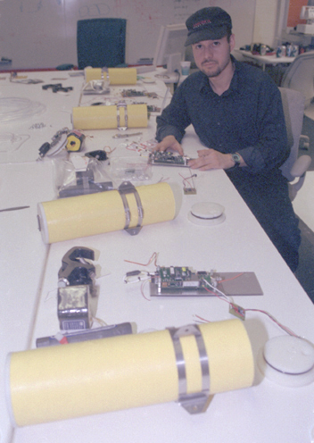
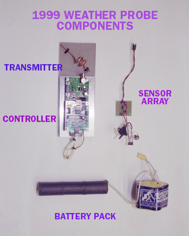
Each probe is made to be mounted on a pole, both on the summit and at South Col (alt. 27,000 ft). Data from the weather probes is collected approximately once every 2 hours by an ARGOS receiver mounted on one of 3 polar-orbiting NOAA satellites. During each satellite pass, 4-6 32-byte packets of data are uploaded to the satellite by each probe. The probes are programmed to transmit in a pseudo-random sequence so as to minimize data collisions during transmit.
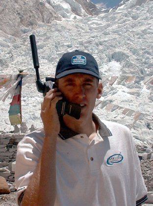
 Dave Mencin -- climber and MIT grad student, Earth and Planetary Sciences Dept