 |
|
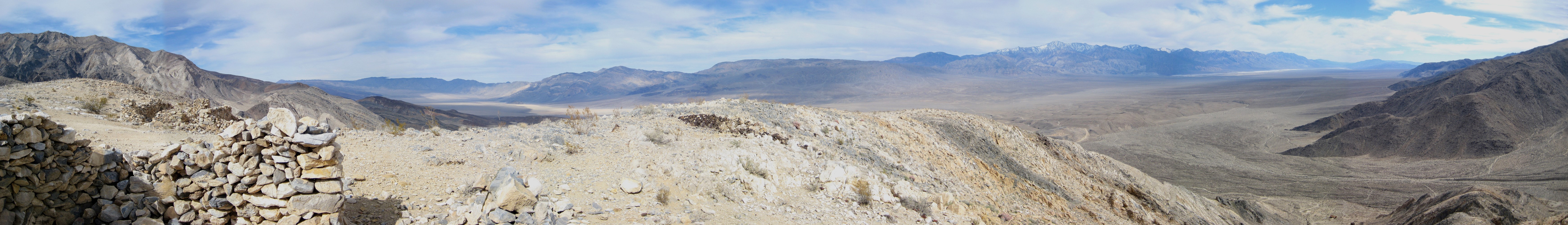
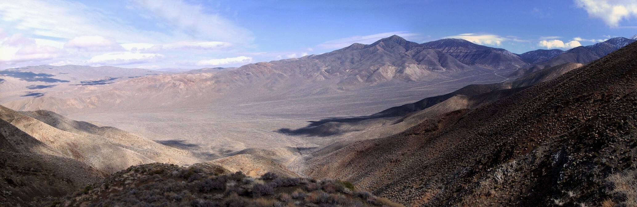
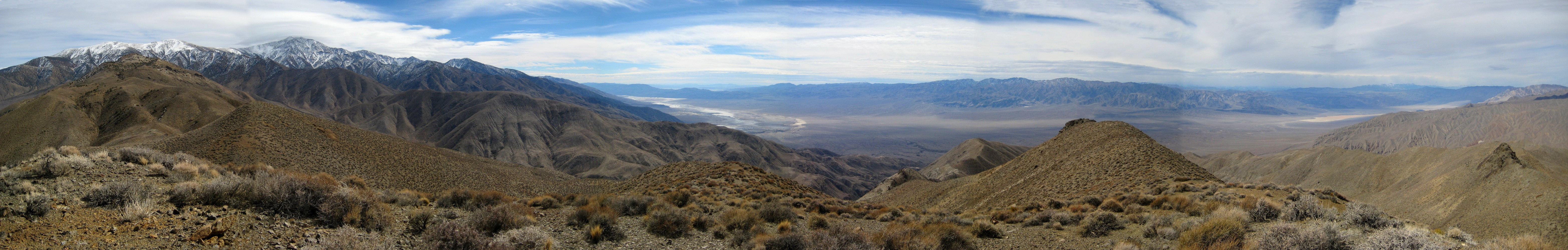
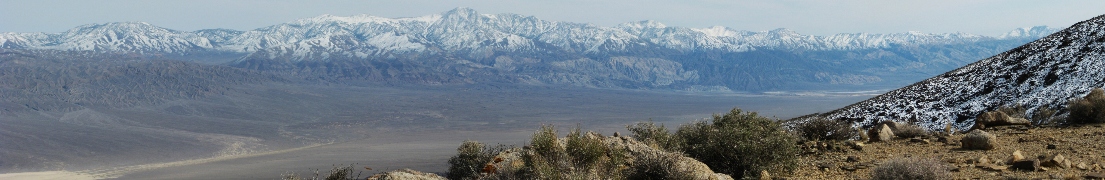
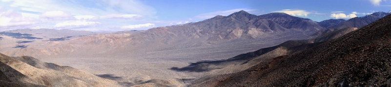
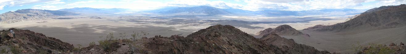
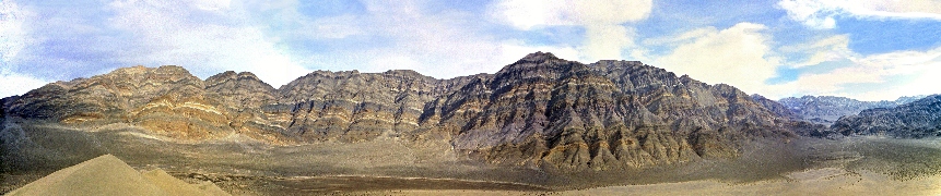
Borax BM Feb 2012
|
|
 |
|
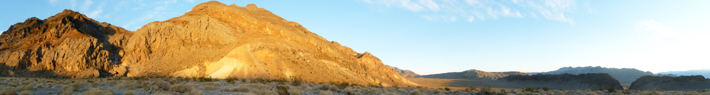
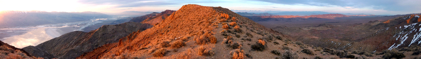
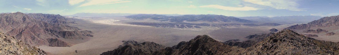
Sunset from the mouth of Sand Canyon in the Owlsheads, Feb 2012
|
|
 |
|
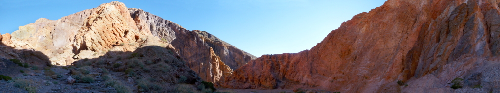
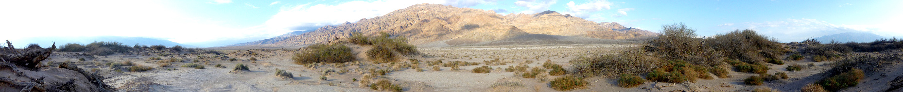
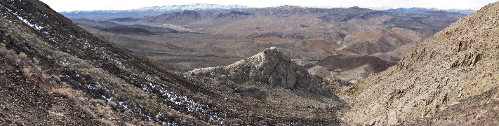
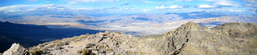
Revenue Canyon, Feb 2012
|
|
 |
|
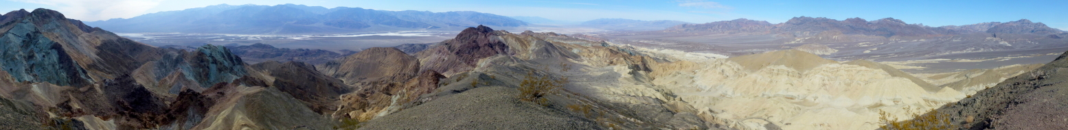
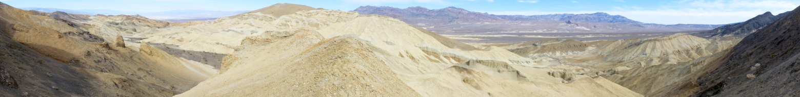
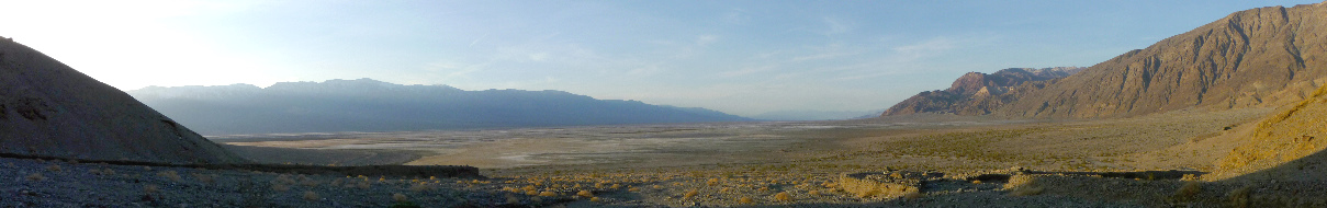
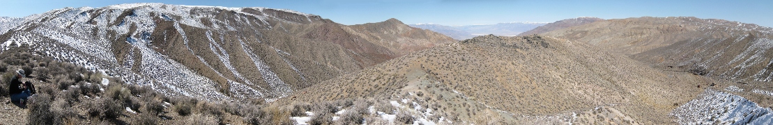
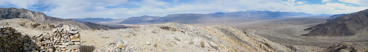
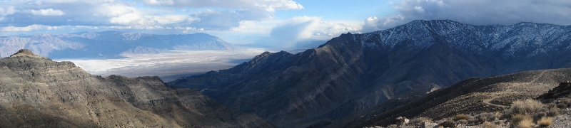
Badlands north of Corkscrew Canyon, Feb 2012
|
|
 |
|
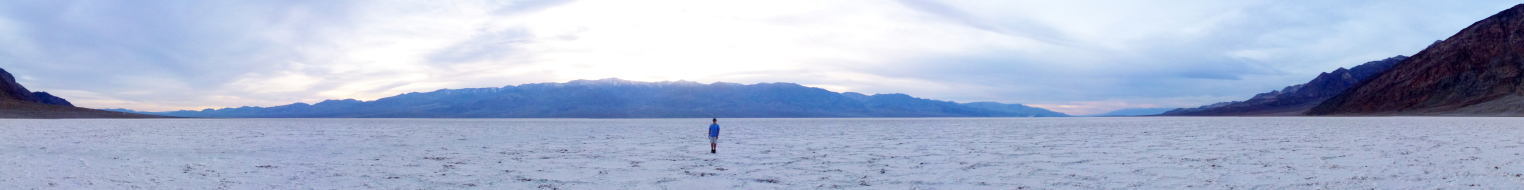
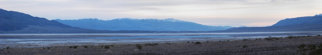
Badwater, Feb 2012
|
|
 |
|
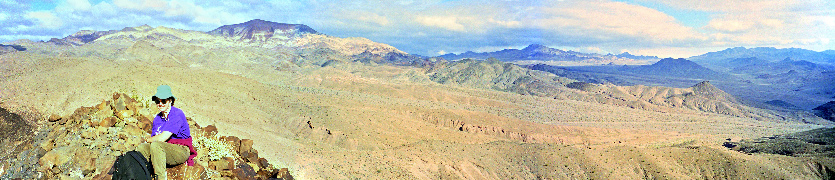
View towards Tucki Mtn. from the mouth of Redwall Canyon, Feb 2012
|
|
 |
|
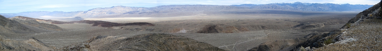
Mormon Point, Feb 2012
|
|
 |
|
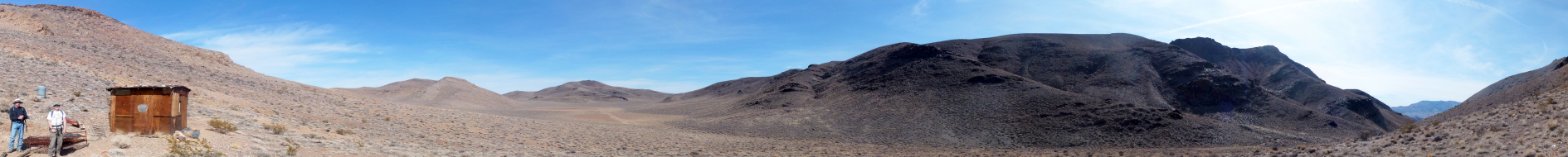
Old Martin Cabin, Feb 2012
|
|
 |
|
The Racetrack and Ubehebe Peak from the Grandstand, Feb. 2011
|
|
 |
|
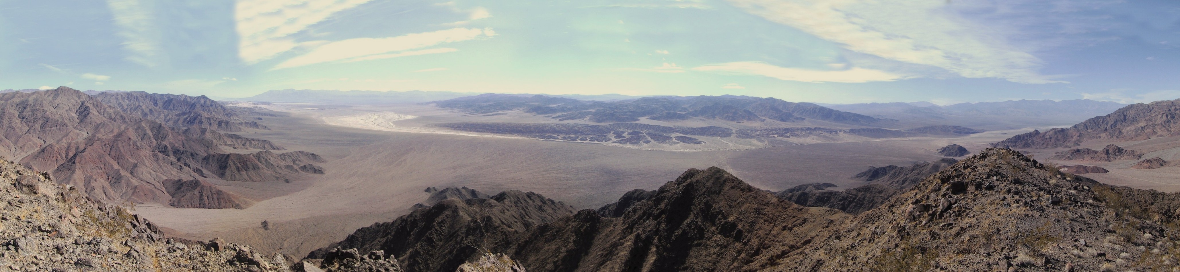
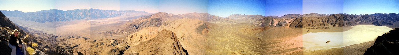
Panamint Range from Panamint Valley at dusk, Feb 2011. Click for the (big) version showing the whole valley.
|
|
 |
|
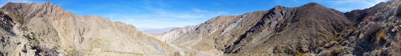
The Corridor. It's actually prefectly straight. Feb. 2011
|
|
 |
|
Hole in the Wall (far right) at sunset, Feb. 2011
|
|
 |
|
Kaleidoscope Canyon, Feb. 2011
|
|
 |
|
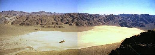
The Racetrack with the moving rocks, Feb. 2011
|
|
 |
|
Passing snow squalls from Hell's Gate, Feb. 2011
|
|
 |
|
Panamint Valley in a dust storm from behind the Big Four Mine. Feb 2010
|
|
 |
|
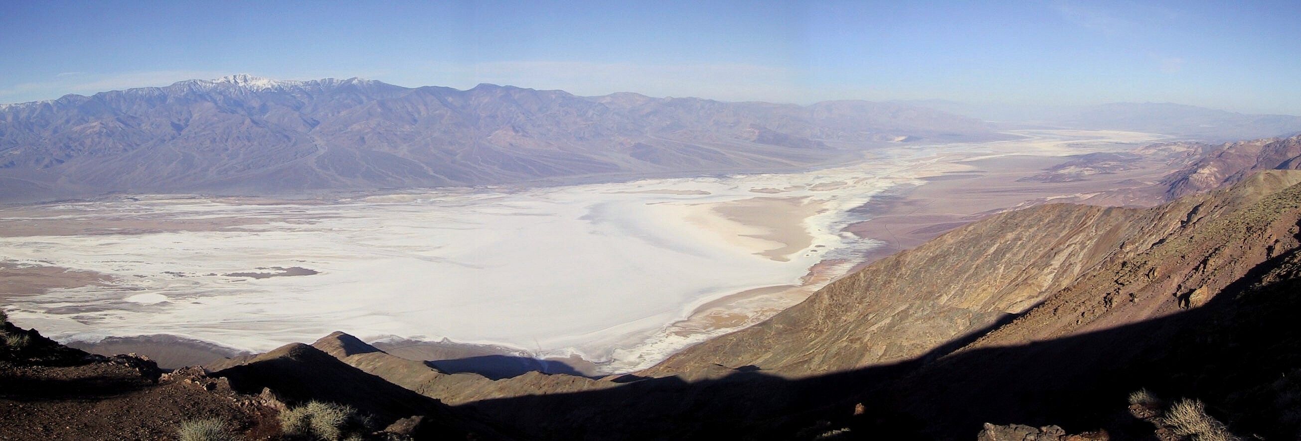
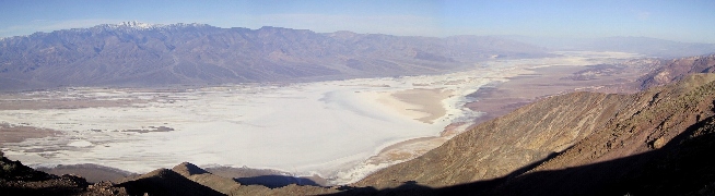
Classic Dante's View shot. Feb 2010
|
|
 |
|
Mouth of Palmer Canyon Feb 2010
|
|
 |
|
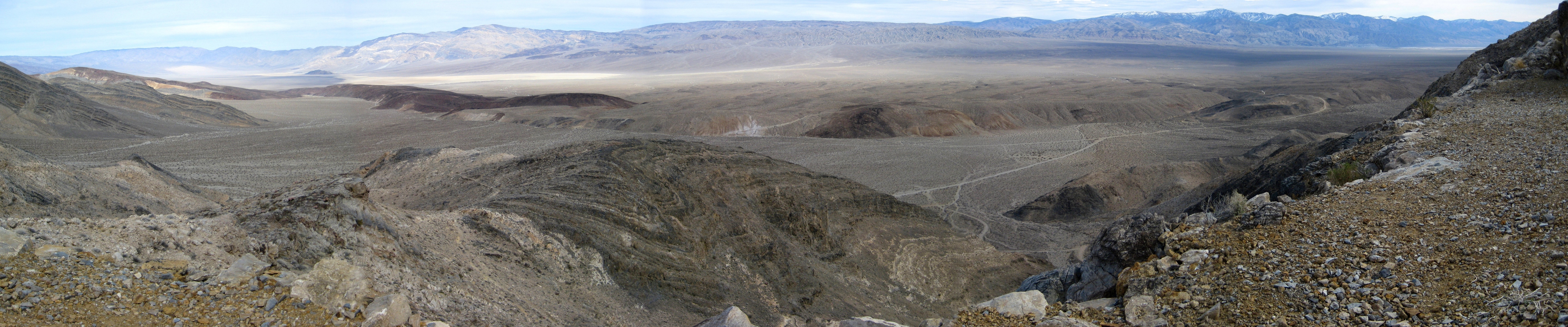
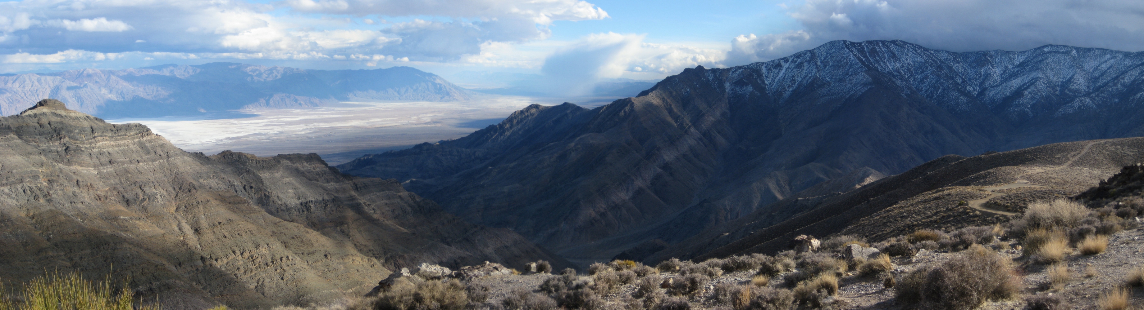
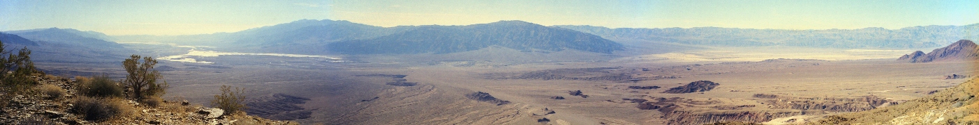
Mt. Perry and the salt flats, sun setting behind Telescope Peak. Feb 2010
|
|
 |
|
Lake Manly at dusk. Feb 2010
|
|
 |
|
Mesquite Flat. Feb 2010
|
|
 |
|
Mouth of Sidewinder Canyon, view north. Feb 2010
|
|
 |
|
Morning view from near Gnome's Workshop. Feb 2009
|
|
 |
|
Wet Cottonball Basin in the last light. Feb 2009
|
|
 |
|
Wide sunset view at Gnome's workshop. Feb 2009
|
|
 |
|
Panamint Range viewed across Panamint Valley from Zinc Hill. Feb 2009
|
|
 |
|
The ridge forming the eastern edge of Jayhawker Canyon, from near the GDD Mill. Feb 2009
|
|
 |
|
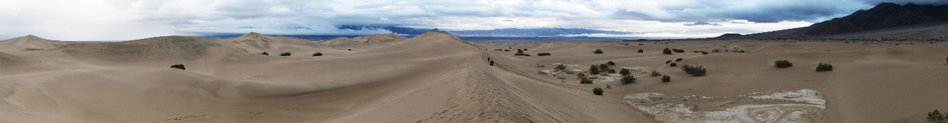
Stovepipe Dunes on a stormy day. Feb 2009
|
|
 |
|
Stovepipe Dunes on a stormy day. Feb 2009
|
|
 |
|
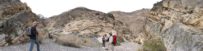
Junction of the north and south forks of Lemoigne Canyon. Feb 2009
|
|
 |
|
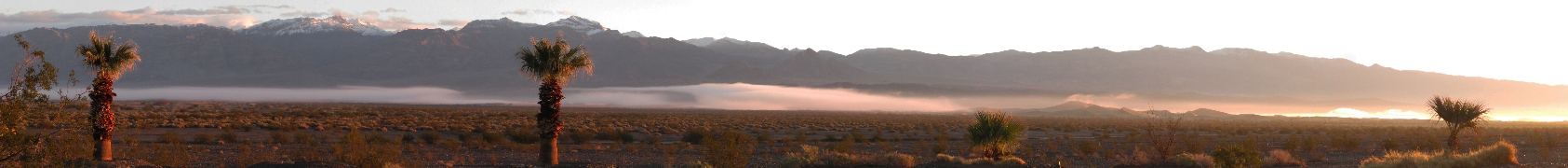
Fog at sea level, sunrise, SPW dunes. Feb 2009
|
|
 |
|
Evening over the valley from the mouth of Jayhawker Canyon. Feb 2009
|
|
 |
|
Northern Death Valley from the mouth of Stretched Pebble Canyon. Feb 2009
|
|
 |
|
Northern Death Valley from the Emigrant Hills, near the GDD Mill. Feb 2009
|
|
 |
|
Northern view at sunset from Gnome's Workshop. Feb 2009
|
|
 |
|
A wash near 20 Mule Team Canyon, view north. Feb 2009
|
|
 |
|
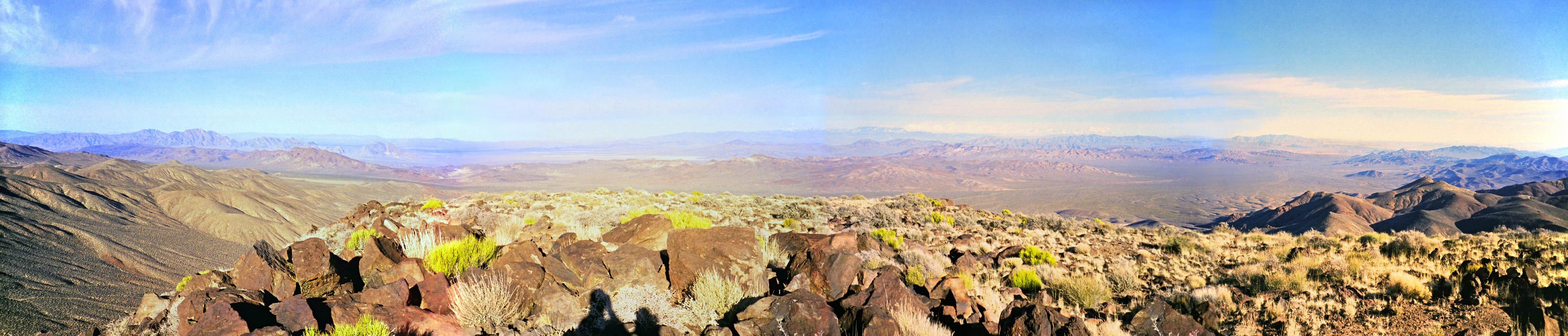
360 degree view from the summit just south of Zinc Hill. Feb 2009
|
|
 |
|
The old mining trail on Zinc Hill and a view out over the "cooked carbonates" to the Darwin area. Feb 2009
|
|
 |
|
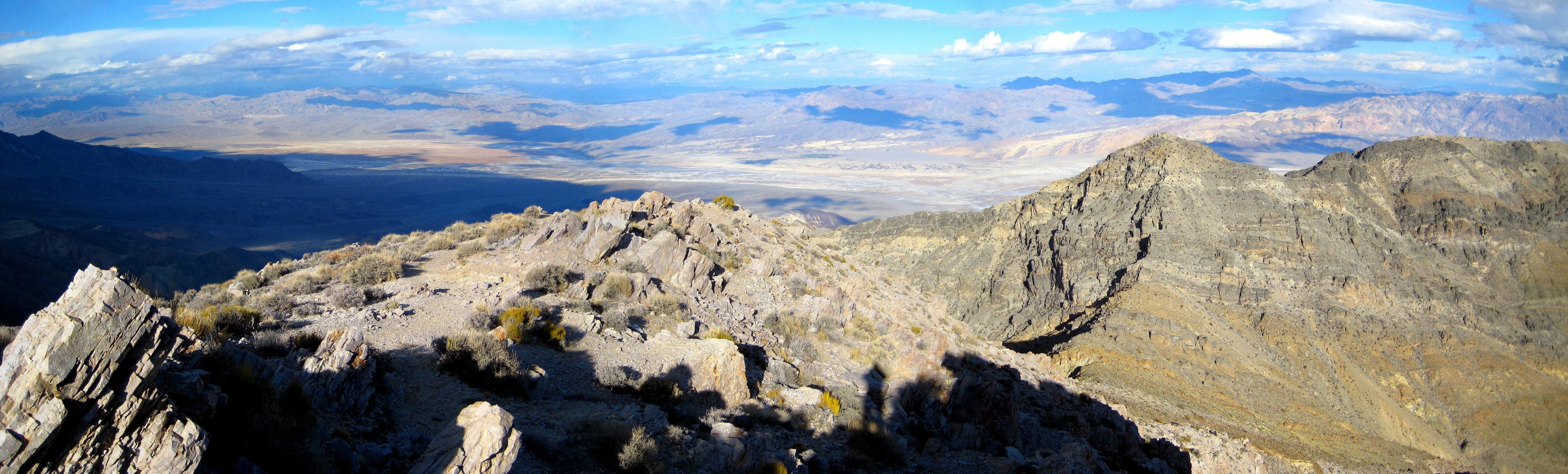
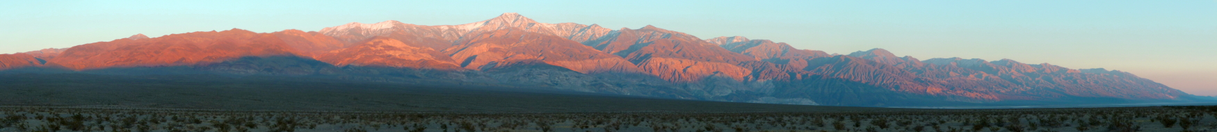
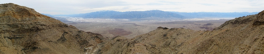
Panamints from the east side in the morning. Feb 2009
|
|
 |
|
View north and east from Wildrose Peak, January 1996. Inyo mountains behind Bald Peak on the left, Badwater and Funeral Peak on the right.
|
|
 |
|
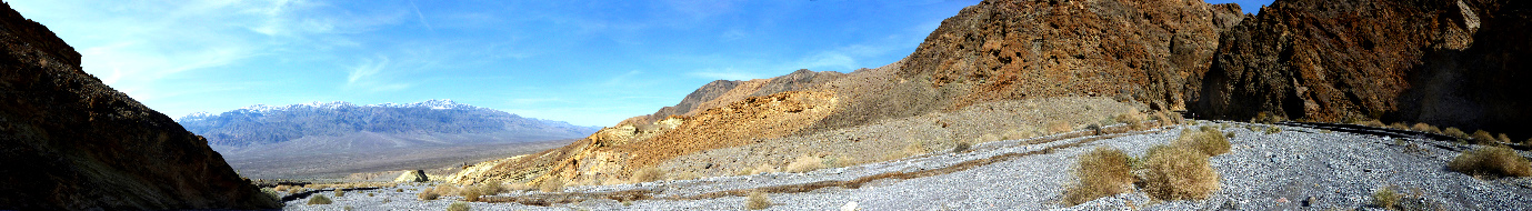
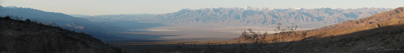
Southern Panamint Valley and the mouth of Thompson Canyon from above Lookout City. Feb. 2008.
|
|
 |
|
Epaulet Peak and the area near Salisberry Pass, from near Jubilee Pass, January 1998
|
|
 |
|
View east from Funeral Peak, January 1998
|
|
 |
|
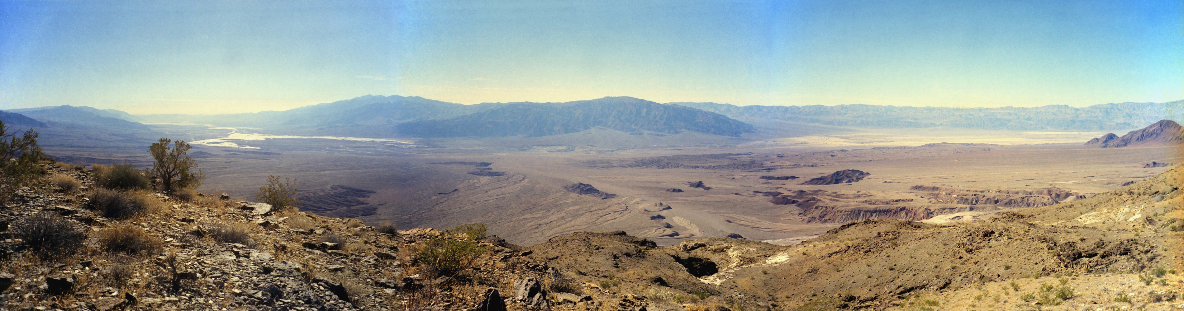
Panamint Valley from Lookout City. Panamint Dunes and Lake Hill on the left to Telescope Peak on the right.
|
|
 |
|
Wildrose Canyon and Peak from the side of Tuber Peak, Death Valley, February 2007
|
|
 |
|
View of southern Death Valley from Jubilee Peak, February 2007
|
|
 |
|
Looking NE from Aguereberry Point, February 2008
|
|
 |
|
Looking SE from Aguereberry Point, February 2008
|
|
 |
|
Death Valley Buttes, February 2008
|
|
 |
|
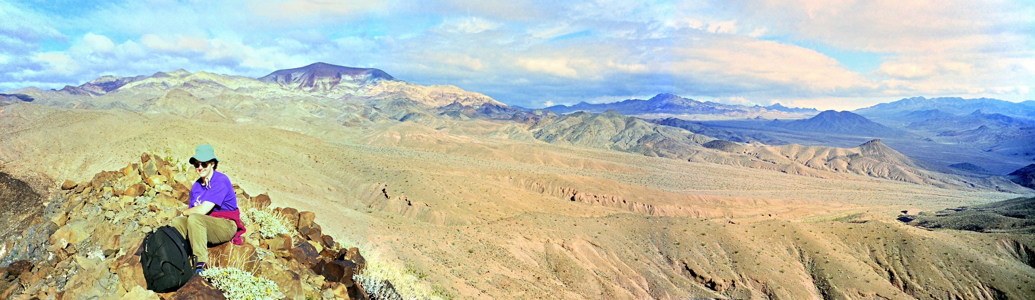
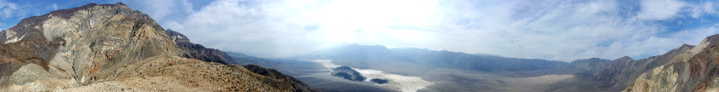
Saline and Racetrack (on the right) Valleys from part way up Ubehebe Peak, December 1999. One of my favorite Death Valley views.
|
|
 |
|
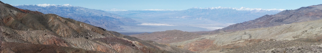
Telescope Peak and the Panamint Valley from Tuber Peak, with a storm approaching over the Sierra. Feb. 2008
|
|
 |
|
360 degree view from the summit of Corkscrew Peak, January 1998. DV Buttes down at the middle bottom, black and white striped Thimble on the right side.
|
|
 |
|
Looking west from the Keane Wonder mine, Jan. 1999. This area was officially closed in fall 2008, how sad.
|
|
 |
|
The Racetrack from part way up Ubehebe Peak, December 1999
|
|
 |
|
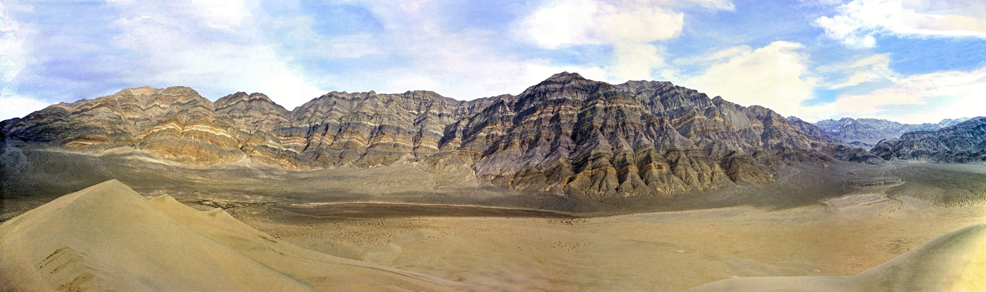
Last Chance Range from the top of Eureka Dunes, Jan. 1998. Steele Pass into the Saline Valley is at the far right.
|
|
 |
|
King Midas Mine (far left) en route to Keane Wonder, Feb. 2008
|
|
 |
|
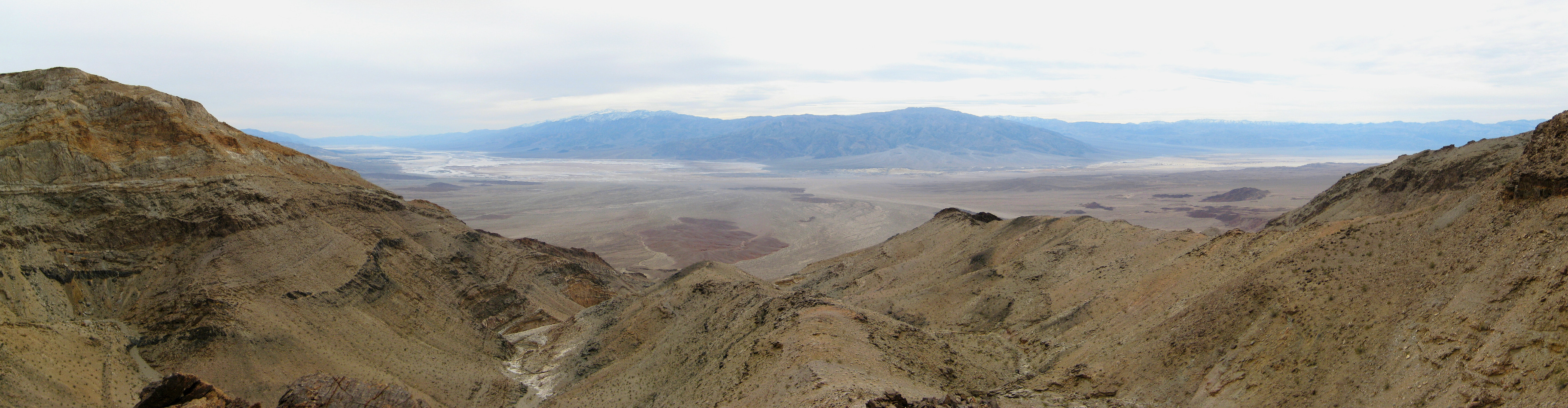
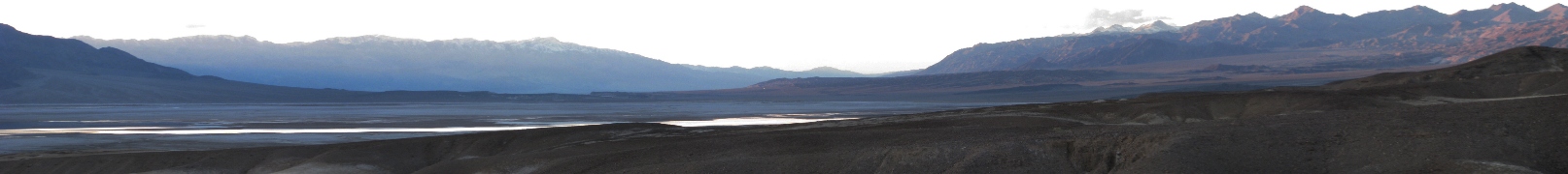
Badwater and Telescope Peak from Dante's View, Jan. 2006
|
|
 |
|
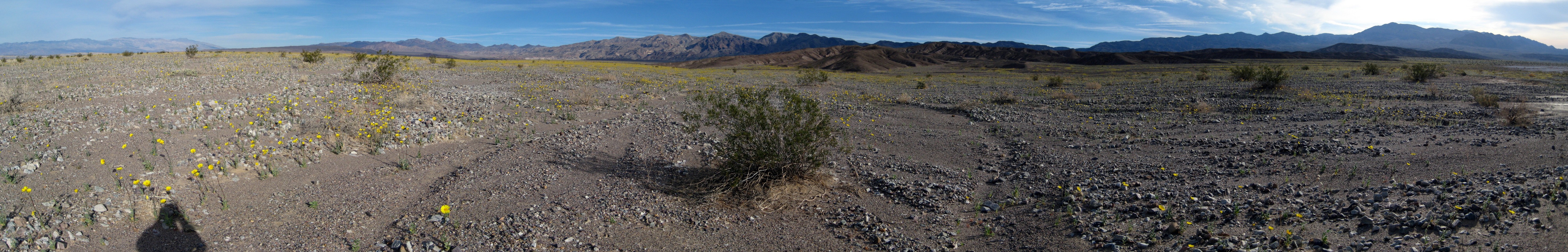
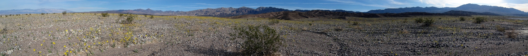
Desert Gold in bloom north of Furnace Creek, Feb. 2008
|
|